
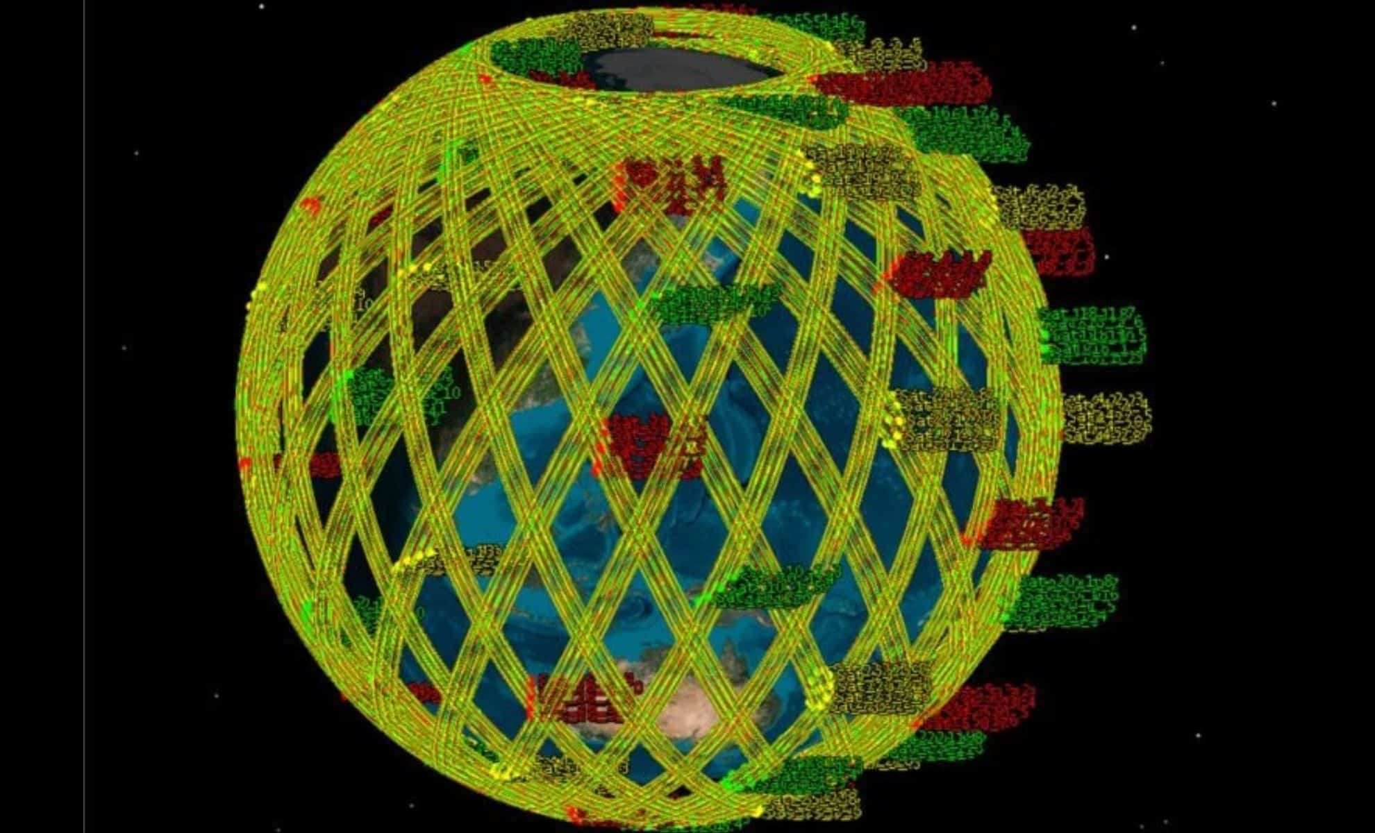
A groundbreaking advancement in satellite engineering is set to transform Earth observation by enabling comprehensive global monitoring in just 35 minutes. A study featured in Space: Science & Technology describes a novel strategy for assembling Low Earth Orbit (LEO) mega-constellations. This technique incorporates strategic satellite grouping combined with cutting-edge swarm optimization algorithms to achieve rapid and accurate Earth imaging. Conducted by researchers at Harbin Engineering University, the China Academy of Space Technology, and Stevens Institute of Technology, the study validates the system through simulations using 891 satellites, marking a significant leap forward in space-based Earth surveillance.
Revolutionizing Mega-Constellation Architecture
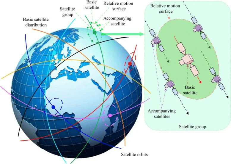
Designing satellite constellations has traditionally posed significant challenges, often relying on uniform dispersal. Yet, emerging applications demand higher resolution and faster data turnaround, necessitating more advanced configurations. The researchers propose splitting the satellite array into two categories: core satellites and their accompanying satellites. Each core satellite is encircled by a cluster of accompanying satellites, arranged evenly across the globe. This configuration ensures seamless coverage and facilitates coordinated formation flying, enhancing observational efficiency.
To fine-tune satellite orbits, the team applies a regression orbit model that balances orbital characteristics to guarantee consistent coverage. This approach factors in Earth's irregular gravitational influence, which can alter satellite courses. By precisely calibrating altitude and orbital periods—defining how many orbits are completed over time—the constellation maintains a steady and effective formation. This strategy ensures there is always a satellite positioned close to any observation target worldwide.

Elliptical Flight Paths and Satellite Synchronization
The novel design leverages elliptical orbits for the accompanying satellites relative to their core satellites. Through the Clohessy-Wiltshire equations, the system models relative motions along elliptical trajectories, allowing satellites to maintain tight coordination around their primary satellite. This precise orbital interplay is essential to maximize the scanning range of each satellite cluster.
The team determined the needed number of accompanying satellites per group by comparing the scanning width covered by a single satellite versus the total required coverage. Segmenting the elliptical orbit into distinct positions, they assigned precise location vectors to each accompanying satellite to ensure synchronized movement. This cohesive setup enables the mega constellation to provide coverage of any global location outside the poles within 35 minutes—an achievement not possible with earlier constellation frameworks.
Harnessing Optimization Algorithms for Superior Constellation Planning
To refine the constellation's configuration, researchers utilized advanced computational methods called Nondominated Sort Particle Swarm Optimization. This technique iteratively tweaks satellite orbital parameters to reduce timing differences at critical orbital points, like ascending and descending nodes, while keeping satellites’ relative placements stable within each cluster. Testing thousands of configurations, the algorithm converged on an optimal solution known as the Pareto front.
The key goals were twofold: minimize timing variation among core satellites’ nodes and preserve the formation integrity of accompanying satellites over multiple orbits. Balancing these factors was crucial for the constellation’s reliable functioning and uniform vigil over Earth. After exhaustive simulations, the final design includes 891 satellites—81 core satellites evenly spaced, each supported by 10 accompanying satellites—enabling near-continuous Earth monitoring refreshed in just 35 minutes.
- Categories:
- News


0 comments
Sign in to Comment