
The National Oceanic and Atmospheric Administration (NOAA) has recently reinforced forecasts pointing to the resurgence of La Niña later this year. This climatic event, marked by the cooling of ocean surface waters, is known to significantly influence global weather patterns. Here’s an overview of what the upcoming La Niña phase could entail.
Key points include:
- NOAA estimates a 70% chance that La Niña will develop between August and October 2024, potentially continuing into early 2025.
- The onset of La Niña has been postponed due to current near-normal sea surface temperatures and declining subsurface temperatures in the equatorial Pacific.
- Hurricane impact: La Niña events often correlate with increased frequency and strength of hurricanes in the North Atlantic, driven by diminished vertical wind shear and elevated sea surface temperatures.
- Wider climatic influences: This phenomenon can result in dryer conditions in the southern U.S. and South America, heavier rains in Southeast Asia and northern Australia, and colder winters across North America.
- Climate context: Over the past decade and a half, La Niña occurrences have been more frequent than El Niño, illustrating the complex interaction between natural climate cycles and anthropogenic climate change.
How La Niña Shapes Global Weather Patterns
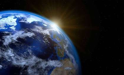
According to NOAA's current assessments, there is approximately a 70% likelihood that La Niña will form between late summer and early fall of 2024, potentially persisting through the southern hemisphere’s 2024-2025 summer. This phase is typified by cooler-than-usual sea surface temperatures across the equatorial Pacific Ocean, which alter atmospheric circulation worldwide. These cooler conditions arise when enhanced trade winds push warm surface water westward, increasing the upwelling of cold deep waters.

Timing Uncertainty: Divergent Model Predictions
While NOAA projects La Niña’s emergence around August to October, other climate institutions, including the Australian Bureau of Meteorology and the Philippine Atmospheric, Geophysical and Astronomical Services Administration (PAGASA), suggest the event could begin later, between September and December. These differences reflect the inherent challenges in forecasting such a dynamic climate phenomenon.
The delayed development stems largely from current sea surface temperatures (SSTs) in the equatorial Pacific, which remain near-normal or slightly elevated, unlike the rapid cooling generally preceding La Niña conditions. Additionally, subsurface temperature anomalies are key indicators; NOAA reports cooling trends beneath the surface, signifying that La Niña formation is still forthcoming.
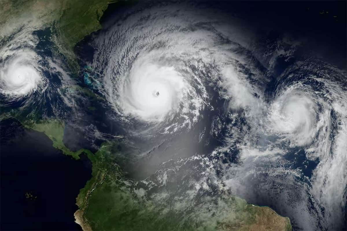
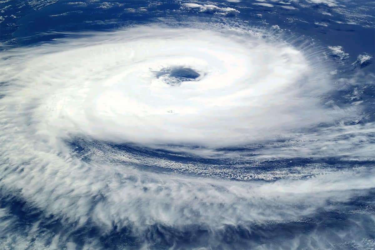
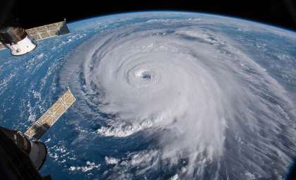
La Niña’s Influence on Hurricane Activity
La Niña notably affects hurricane patterns, typically resulting in a heightened number and increased intensity of hurricanes in the North Atlantic. This year, the interaction between La Niña and elevated ocean temperatures could intensify the hurricane season, leading to potentially more severe storms.
The increase in hurricane activity is largely due to reduced vertical wind shear, which normally hinders storm development by disrupting the storm's structure. Under La Niña conditions, the vertical wind shear over the tropical Atlantic decreases, fostering an environment conducive to hurricane growth. Meanwhile, warmer sea surface temperatures provide additional energy, fueling storm strength.
Extended Climatic Effects Beyond Hurricanes
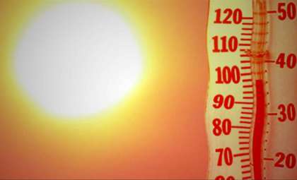
La Niña’s reach goes beyond hurricane seasons. It often results in drier climates throughout the southern United States and South America, while boosting rainfall across Southeast Asia and northern Australia. It can also bring colder winters to North America and create wetter and warmer conditions in southern African regions.
Regions such as the southern U.S. may experience less precipitation, worsening droughts particularly in the southwestern states. Conversely, areas like Southeast Asia and northern Australia could face increased flooding risks due to heavy rains. The northern U.S. and Canada typically see colder-than-average winters influenced by shifts in the jet stream.
La Niña in the Context of Long-Term Climate Variability
The reappearance of La Niña raises important questions about overarching climate trends. Despite ongoing global warming, La Niña events have been more frequent than El Niño episodes over recent years, highlighting the intricacies of natural climate variability combined with human impacts.
La Niña and El Niño define phases of the El Niño–Southern Oscillation (ENSO), characterized by fluctuations in sea surface temperatures and atmospheric pressure over the equatorial Pacific. While El Niño generally contributes to global temperature rises, La Niña tends to produce cooling effects. The growing prevalence of La Niña may also relate to decadal climate oscillations that modulate the ENSO cycle.
Advancing Climate Forecasting and Research
Climate scientists remain vigilant in refining predictive models and increasing understanding of La Niña’s wider impacts. Given the complex and evolving nature of the Earth’s climate system, ongoing studies are critical for improving forecasting accuracy and preparing for potential consequences.
Research efforts focus on how climate change could modify the behavior and intensity of both La Niña and El Niño events. Some analyses suggest that rising global temperatures might lead to more frequent and powerful El Niño episodes, while others predict shifts toward longer-lasting La Niña phases. Gaining insight into these patterns is essential for guiding adaptation and mitigation efforts worldwide.
As the world braces for La Niña’s return, staying updated through trusted sources like NOAA will be key. Having a clear grasp of potential impacts will empower communities globally to anticipate and respond effectively to shifting climate conditions.
- Categories:
- Climate change


0 comments
Sign in to Comment