
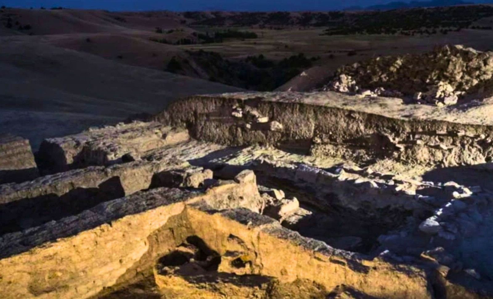
Perched above 7,000 feet in the remote mountain ranges of southeastern Uzbekistan, what seemed like rugged slopes dotted with juniper trees was transformed by drone-mounted laser scanners into a remarkable discovery: the outlines of sturdy stone walls, straight roads, and the organized foundations of ancient structures buried beneath layers of earth and time.
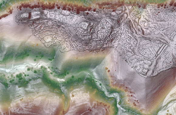
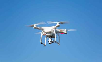
Known as Tugunbulak, this location had been noted in earlier regional surveys, but its immense size was only revealed through the efforts of Michael D. Frachetti, an archaeologist at Washington University in St. Louis. Over several seasons, his team employed UAV-lidar technology to intricately map the site, peeling back the deceptive surface to expose a sprawling urban complex far beyond prior estimations.
Laser Scanning Reveals a Large Defensive Medieval Settlement
Combining data from over 20 drone flights, software merged these scans into a detailed composite that uncovered a fortified urban space stretching across approximately 300 acres. The researchers identified extensive defensive walls, terraced constructions, and a grid-based city plan indicative of intentional design. Situated at an elevation of 2,130 meters, this settlement challenges conventional ideas about the locations of significant medieval urban centers in Central Asia.

The high precision of the lidar imagery enabled the team to distinguish individual wall fragments and building layouts clearly. Frachetti noted, “The detail allowed us to discern subtle features” which guided strategic excavation efforts by pinpointing the most revealing areas and minimizing guesswork.
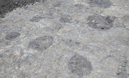
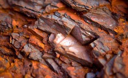
Excavations soon confirmed the city’s purpose: vast deposits of black slag—a byproduct of iron smelting—were found across the site. Within a particular structure, kilns and furnaces remained intact alongside remnants of juniper charcoal and iron pellets. The scale and complexity suggested a sophisticated iron industry, supported by steady fuel resources, skilled labor, and well-organized logistics moving goods down from the mountain to other regions.
An Iron Manufacturing City Chronicled by 10th-Century Scholars
These archaeological results correspond with writings from the medieval period. The 10th-century geographer Ibn Hawqal described a chilly mountain settlement called “Marsmanda”, notable for its meadows and metalworking despite lacking gardens. While Marsmanda’s precise site had remained elusive, the ironworking evidence at Tugunbulak aligns with the historical texts.
This city thrived roughly between the 6th and 11th centuries, amid the Silk Road’s bustling trade connections between East Asia and the Mediterranean. Located about 70 miles east of Samarkand, a major trade hub, Tugunbulak’s industrial might challenges prevailing assumptions that economic activity was dominated solely by lowland urban centers. Instead, it highlights the importance of highland production centers in medieval Eurasian commerce.
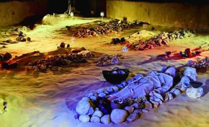
Nearby cemeteries add further insights: radiocarbon dating reveals burials dating back to around 720 AD, with one cemetery containing about 650 graves. The diversity in burial orientations, presence of animal remains, and sparse grave goods reflect a population experiencing shifts in cultural beliefs and political ties over centuries.
Factors Behind the City’s Rise and Decline
Iron production at such altitude depended on more than just ore and workers. The furnaces consumed large amounts of juniper charcoal, necessitating enduring access to surrounding forests. Water availability, ore transport routes, and stable political conditions enabling trade access to lowlands were also critical. These factors supported the city’s industry for roughly 500 years.
Around 1050 AD, production ceased. Evidence shows no rapid destruction; instead, abandonment seems to have followed gradual hardships. Causes may include prolonged drought, deforestation from charcoal use, or shifting political and trade landscapes in Central Asia. As economic foundations weakened, inhabitants left, allowing the city’s infrastructure to erode beneath the mountainside.
Frachetti’s team plans to resume excavations focused on the city’s administrative quarter, aiming to uncover seals, manuscripts, or other artifacts to better understand its governance and connections to wider medieval Eurasian polities. Analyzing metal fragments may reveal ore sources and smelting conditions, while pottery and coins could shed light on the city’s role in Silk Road trade networks.
The full findings were published in the journal Nature.
- Categories:
- Science





0 comments
Sign in to Comment