
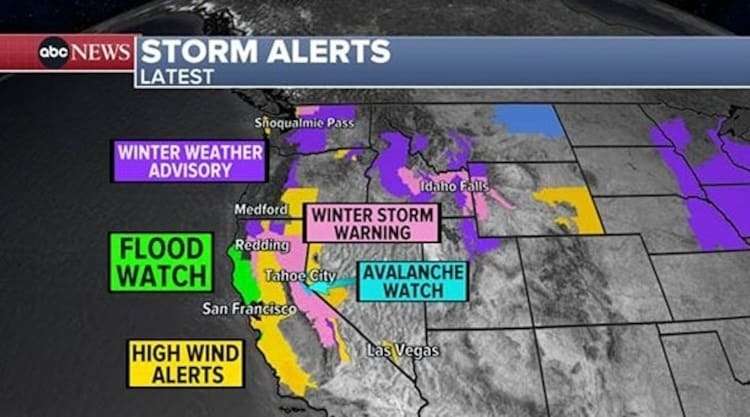
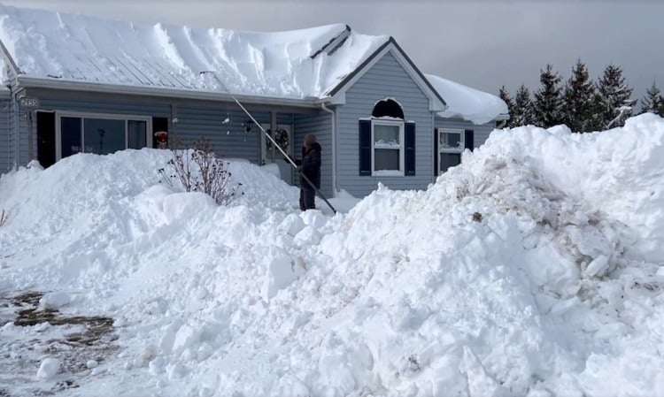
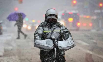
An intense winter system is impacting a broad stretch of the United States, with winter storm alerts active across 19 states. Heavy snow, dangerous ice build-up, and strong winds are expected to create treacherous driving conditions extending from California’s Sierra Nevada to the Midwest and parts of the Eastern Seaboard. The National Weather Service (NWS) cautions that travel could become severely restricted or impossible in some locations.
Western US Faces Major Snowfall
The western region is poised for substantial snow, with California, Nevada, Idaho, Wyoming, and Washington all under winter storm warnings. In California’s Sierra Nevada, amounts may reach up to 3 feet (91.44 cm) above elevations of 5,000 feet (1,524 m).
An avalanche watch has been issued for the Greater Lake Tahoe area due to heightened dangers. The NWS has advised refraining from backcountry excursions, adding, “Small boats, kayaks, and paddle boards will be prone to capsizing and should remain off lake waters until conditions improve.”

In Nevada, regions above 5,500 feet including parts of Lassen-Eastern Plumas-Eastern Sierra Counties are expecting snowfall totals near 3 feet. Gusty ridge winds could reach up to 75 mph, with potential for power interruptions and damage. Meanwhile, in Siskiyou County, Oregon, snow accumulations from 10 to 20 inches are forecast alongside 65 mph winds, causing extensive blowing snow and poor visibility.
Reno-based meteorologist Paul Jameson highlighted the storm’s severity: “This is the kind of storm that can strand conductors on the highway if they’re unprepared.” He recommends residents stockpile emergency essentials and avoid travel until conditions improve.
Ice and Mixed Precipitation Impact the Midwest
An ice storm warning remains in place for parts of eastern Iowa, with up to 0.30 inches (7.62 mm) of ice expected to accumulate. The NWS warns this buildup could bring down power lines and trees, causing blackouts and unsafe roadways.
Cedar Rapids officials have increased road treatment crews, while city manager Linda Torres urged residents to remain off the roads, stating, “It only takes a tenth of an inch of ice to create treacherous roads.”
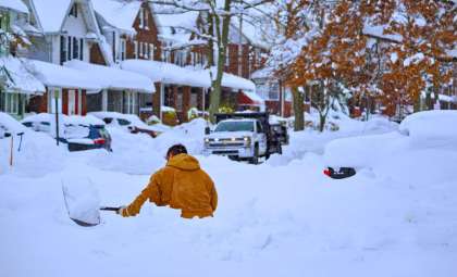
Illinois, Missouri, and Minnesota are all under winter weather advisories, anticipating a mix of freezing rain, sleet, and light snow. Travel disruptions are expected, especially where snow transitions into freezing rain and sleet. The Quad Cities area along the Iowa-Illinois border is forecasted to see notable ice accumulations late Saturday.

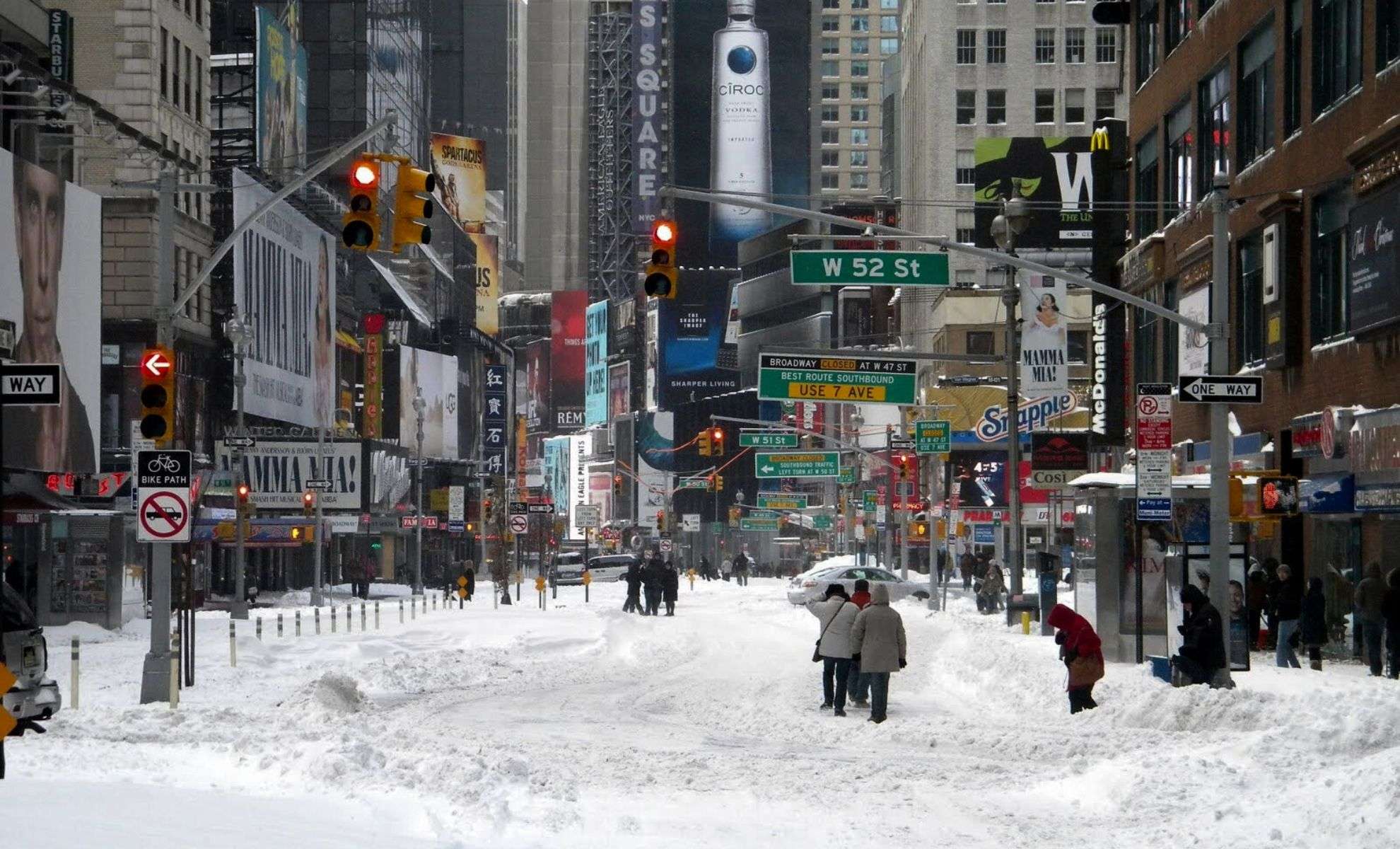
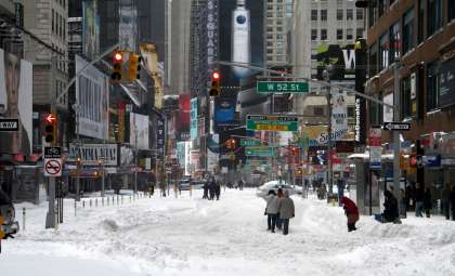
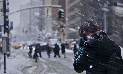
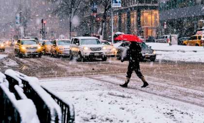
Precipitation Shifts to the East Coast this Weekend
The storm system will move eastward, bringing a combination of snow and rain to the Mid-Atlantic and Northeast. Snow showers will reach central Pennsylvania and upstate New York by Sunday afternoon, while rain will push into urban centers like Washington, D.C., Philadelphia, and New York City. Meteorologist Jillian Cross explained, “The sharp transition between snow and rain could lead to highly variable conditions across short distances.”
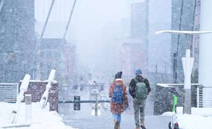
The Poconos and Catskills can expect the heaviest snow accumulations, with some areas receiving over 6 inches. By Monday morning, the core of the storm should move out, leaving lighter rain near the coast and lingering snow across northern sections.
Preparation Tips and Travel Alerts
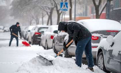
The Federal Emergency Management Agency (FEMA) and NWS recommend residents prepare by assembling emergency supplies including flashlights, batteries, water, and non-perishable foods. Travelers venturing into affected zones should carry blankets, snow chains, and shovels.
Officials in the Greater Lake Tahoe area urge individuals to monitor avalanche forecasts, especially those engaging in outdoor recreation. The NWS warns that gusts as strong as 120 mph are possible in some mountain passes, creating life-threatening conditions.
Local authorities have deployed snowplows and salted roads, yet residents are advised to limit travel. The NWS will continue to update forecasts as new information becomes available.
- Categories:
- News ,
- Climate change


0 comments
Sign in to Comment