
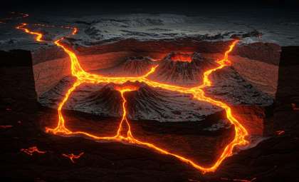
Artificial intelligence is revolutionizing archaeology in two of Earth's most extreme environments—the Empty Quarter of the Arabian Peninsula and Peru's Nazca Desert. These once-impenetrable deserts are now unveiling traces of civilizations lost for millennia.
Recent AI-driven analyses have uncovered extensive ancient habitations beneath the sands of the Rub’ al Khali desert, some dating back approximately 5,000 years. Concurrently, advanced image recognition techniques have helped researchers identify more than 300 previously unknown Nazca geoglyphs in South America. By integrating AI with satellite and aerial imagery, scientists are revealing the vastness of ancient cultures hidden beneath arid landscapes—discoveries that traditional fieldwork alone could not achieve.
The Dawn of Digital Archaeology in Deserts
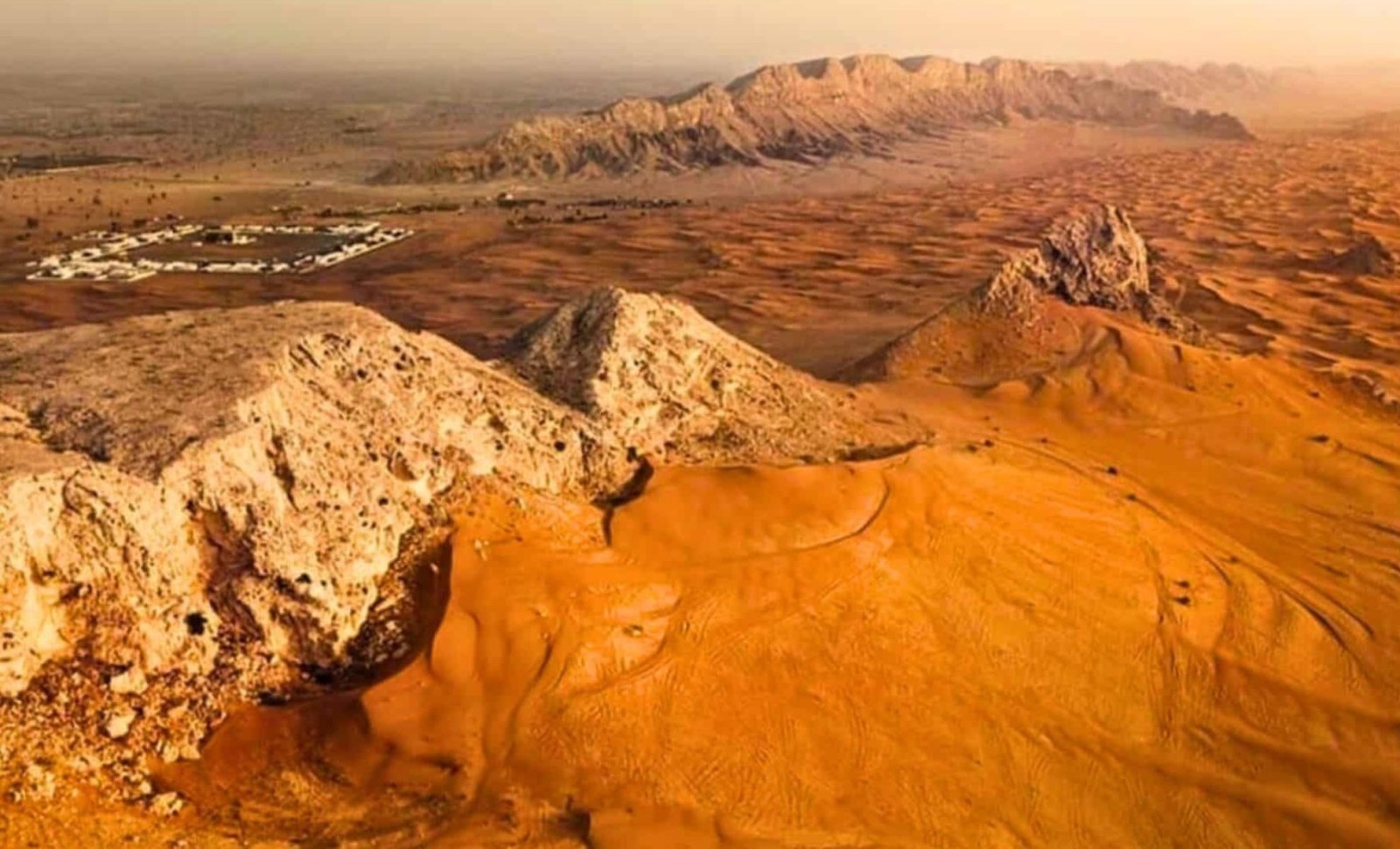
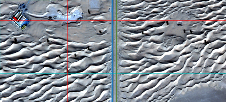
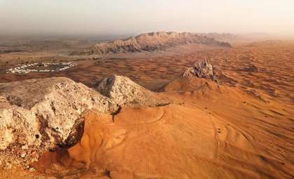
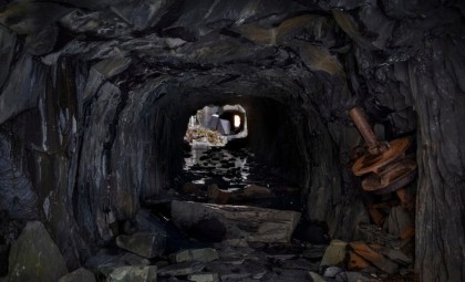
The Rub’ al Khali, a sprawling desert region spanning Saudi Arabia, Oman, the UAE, and Yemen, poses enormous challenges for conventional excavation. Recently published research in Geosciences presented an innovative method, combining synthetic aperture radar (SAR) from Japan's ALOS-2 satellite with machine learning trained to detect features typical of ancient settlements.

Focusing on Saruq Al-Hadid, located near Dubai and known for metalworking waste and ancient ceramics, researchers analyzed images from the WorldView-3 satellite. Feeding this data into AI models trained to detect archaeological patterns such as grouped structures and linear layouts, they uncovered hidden subsurface anomalies indicating broader settlement areas.
The use of SAR was vital, as its radar waves penetrate dry sand and are unaffected by sunlight or atmospheric haze, unlike optical imaging. This technology generated detailed maps of potential human-made features buried beneath dunes, revealing elements that had eluded traditional surveys.
These extensive features extend beyond individual sites and strengthen theories about ancient commerce and human migration. Researchers are now applying these techniques to trace the ancient Incense Trade Network, believed to have linked southern Arabia with the Mediterranean over 4,000 years ago.
Leveraging AI to Unlock the Nazca Geoglyphs
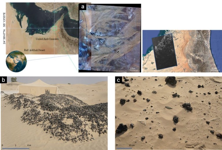
Meanwhile, on the other side of the planet, a team from Yamagata University and IBM’s Thomas J. Watson Research Center utilized AI combined with drone photography to discover 303 new Nazca Lines in Peru’s desert, vastly increasing known geoglyph numbers. This achievement was covered by BBC News.
By training algorithms on high-resolution images of established glyphs, the AI scanned aerial photographs over 243 square miles, identifying more than 47,000 sites of interest. Archaeologists then refined these to 1,309 promising candidates, eventually confirming 303 previously unrecorded figures, many just a few meters across and nearly invisible without digital tools.
The newly discovered designs feature various animals, including parrots, killer whales, cats, and monkeys, in addition to human-like shapes. Sizes vary widely, some extending up to 90 meters, others under 10, hinting at multifaceted cultural or ritual significance within ancient Nazca society.
While the precise purpose of these geoglyphs remains uncertain, hypotheses encompass astronomical markers, ceremonial sites, or water source indicators. Although AI has not solved their meaning, it has substantially broadened the inventory of clues.
Advantages and Challenges of AI in Archaeology
These projects showcase how AI-driven archaeology is opening up once inaccessible or overlooked regions. However, the technology has its constraints.
SAR data can be distorted by environmental factors such as wind, terrain changes, and dust. Naturally occurring geological formations frequently mimic anthropogenic structures, leading to false positives. To improve accuracy, researchers implement backpropagation algorithms that progressively refine the AI's output based on field validation and confirmed discoveries.
Despite advances, human interpretation remains crucial. AI expedites the detection of patterns, but on-the-ground verification is indispensable for confirming that detected anomalies correspond to genuine archaeological sites.
Nevertheless, AI significantly reduces survey times. Tasks that traditionally could take years now are completed in months across large regions, accelerating the pace of archaeological exploration.
- Categories:
- Science


0 comments
Sign in to Comment