
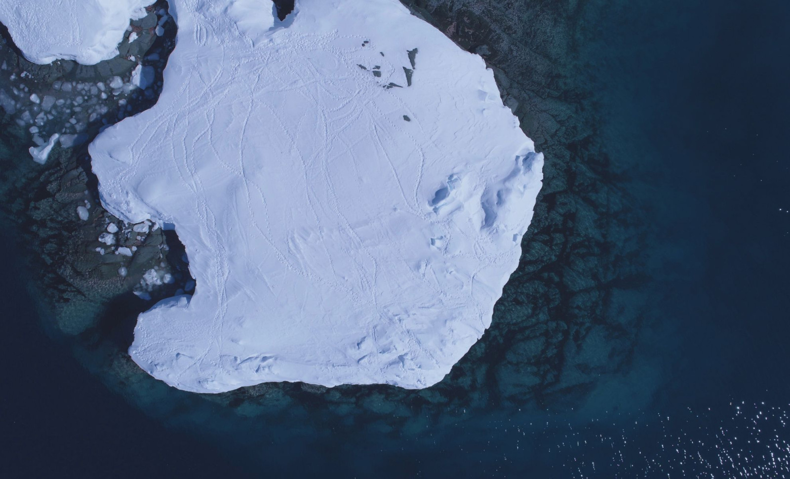
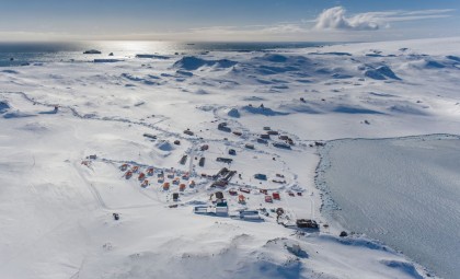
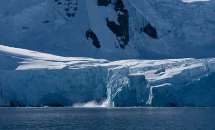
For the first time ever, researchers have produced a high-resolution map revealing Antarctica’s hidden landscape beneath its vast ice sheet. This breakthrough unveils previously unknown geological structures and enhances our understanding of how the ice sheet responds to environmental changes.
The map was crafted by integrating satellite observations with physics-based simulations, offering the most detailed depiction yet of the continent's subglacial topography. The discovery of tens of thousands of landscape features, along with a colossal channel underneath the ice, sheds new light on the dynamic nature of Antarctic ice.
Uncovering Countless Hidden Formations
Earlier Antarctic maps were heavily dependent on radar surveys with large gaps between data points, but this innovative method minimizes uncertainties by filling in those voids. Lead researcher Helen Ockenden from Grenoble Alpes University likened the improvement to moving “from a grainy pixel film camera” to “a properly zoomed-in digital image.”

The study, published in Science, revealed tens of thousands of previously undocumented hills and ridges buried beneath the Antarctic Ice Sheet through an approach combining satellite data and ice flow physics.
A Massive Hidden Channel Discovered Beneath Antarctica
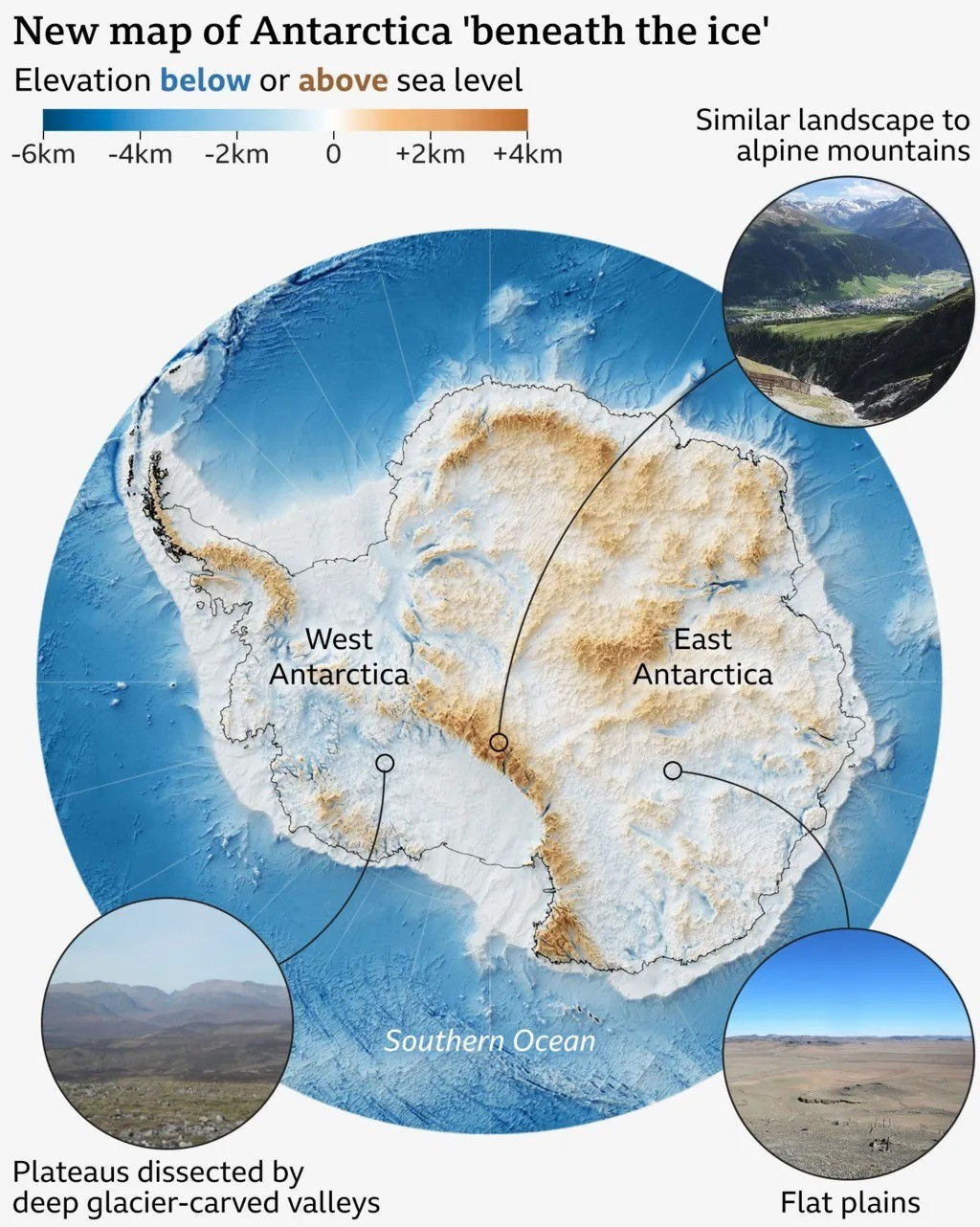
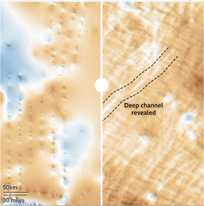
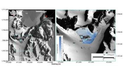
Among the most remarkable discoveries is an enormous bedrock channel located within the Maud Subglacial Basin. This feature stretches nearly 400 kilometers, spans around 6 kilometers in width, and plunges to roughly 50 meters deep. Such a detailed resolution of this structure is unprecedented.
The comprehensive maps developed surpass previous radar-based explorations, which often left gaps of hundreds of kilometers between surveyed lines. Peter Fretwell from the British Antarctic Survey commented:
“This is a really useful product,” he said “It gives us an opportunity to fill in the gaps between those surveys.”
Advancing Antarctic Insights With Detailed Mapping
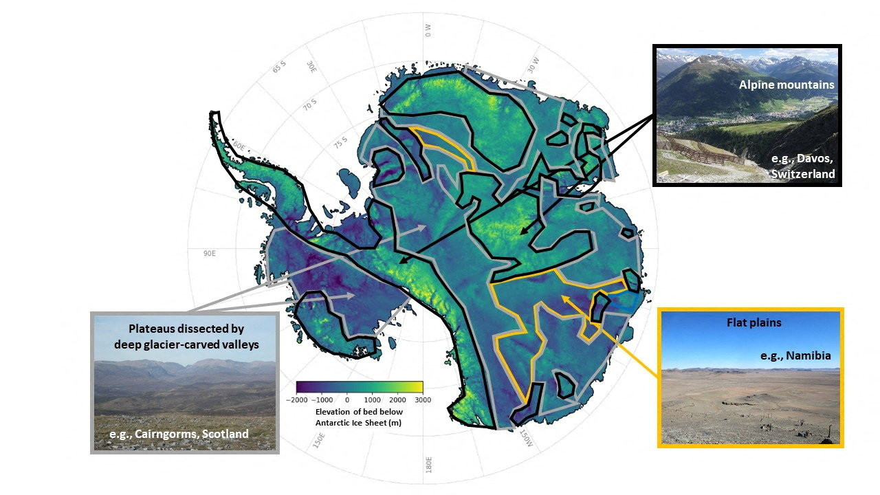
Scientists created this map by integrating satellite data with models simulating ice movement over diverse landforms. This combined approach enabled reconstruction of hidden Antarctic bedrock, delivering a unified and detailed image across the continent.
Prior datasets often left significant uncertainty between radar lines, but this refined digital elevation model reveals terrain features critical to ice dynamics, such as mountain chains, deep troughs, and slim ridges that influence glacial speed and stability.
Ockenden highlighted the enhanced clarity this method offers. Instead of fragmented views, the scientific field now benefits from a continuous perspective that illustrates the complex landscape beneath Antarctica’s ice.
“I think it’s just really super interesting to look at all these new landscapes and see what’s there,” she said, “It’s like when you see a map of topography on Mars for the first time, and you’re like, ‘whoa, this is so interesting, this looks a bit like Scotland,’ or ‘this looks like nothing I’ve ever seen before.”
Antarctica’s Hidden Terrain Comes Into View
Beyond its scientific significance, the new map has stirred excitement among the researchers. Professor Robert Bingham from the University of Edinburgh, a co-author, shared his enthusiasm about witnessing Antarctica’s entire bedrock landscape together for the first time.
This project not only represents a scientific achievement but also unites decades of fragmented measurements into a cohesive picture, offering researchers an unprecedented holistic view of the continent.
Bingham reflected on the profound feeling of discovery, noting that the Antarctic continent, long hidden beneath kilometers of ice, is finally beginning to unveil its authentic form.
- Categories:
- Science


0 comments
Sign in to Comment