
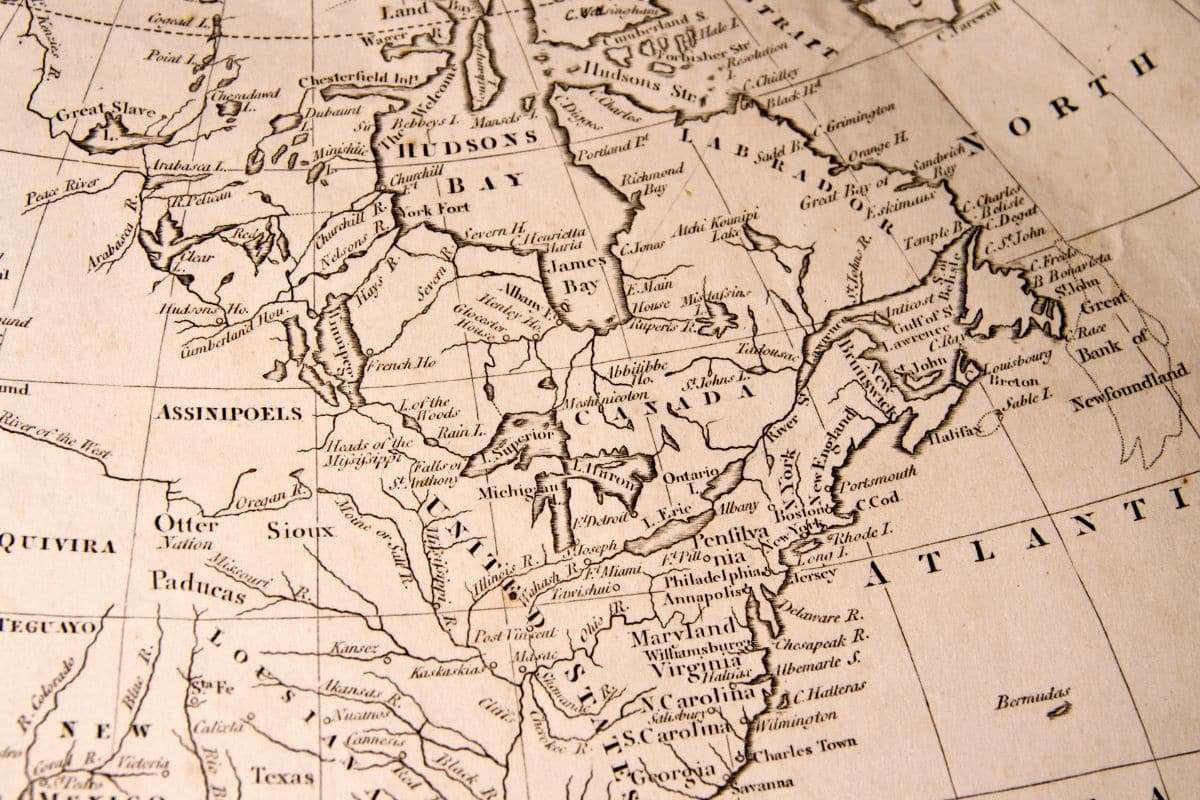
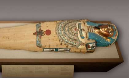
An enigmatic relic purportedly unearthed within a tomb in Egypt has ignited intense discussion among historians and scholars. This artifact—a map dating back 5,000 years—is claimed by some to illustrate the continents of North and South America long before any officially recorded transatlantic voyages, including those by Columbus. Although verification is lacking, the artifact is fueling fresh debates about the extent of ancient geographic knowledge.
Sealed Tomb Yields Unexpected Discovery
As reported by The Archaeologist, the item surfaced inside a sealed burial chamber and is either etched on stone or depicted on papyrus. Its intrigue stems not only from its age but potentially from the detailed outlines resembling the shorelines and landforms of the Americas.
Speculation about early exchanges between Old World and New World cultures has circulated before, with many pointing to striking architectural similarities between the Egyptian pyramids and the step pyramids found in ancient Mesoamerica.

While most archaeologists attribute these likenesses to coincidental or independent development, some researchers suggest there could be untapped evidence for ancient cross-cultural interactions, with such a map potentially representing a key piece of that puzzle.
Controversy, Secrecy, or Misinterpretation?
Critics emphasize that no documented, peer-reviewed research has confirmed the artifact’s existence or its alleged depictions. The lack of photographic evidence, precise location data, or academic citations keeps the finding enveloped in uncertainty and speculation. Could the item be deliberately withheld, or is the claim possibly a misinterpretation of an unrelated ancient object?
Many ancient Egyptian artworks and carvings employ symbolic or mythical geography, often stylizing recognizable and imaginary places. It is plausible that this supposed map represents the Duat (the underworld), the conceptual four corners of the Earth, or other allegorical designs rather than a literal map of the Americas.
Without direct access to the artifact or independent validation, distinguishing between myth and historical fact remains challenging.
The Enduring Allure of Forbidden Knowledge
Despite skepticism, the narrative continues to capture interest among enthusiasts of ancient enigmas, forgotten cultures, and revisionist history. For many, it stirs a profound question: how much of human history has been left unexplored or misunderstood?
Whether the map is a misread relic or a revolutionary find, the concept evokes a fundamental fascination—the possibility that early societies maintained more interconnectedness than previously recognized.
In an era dominated by satellite imagery and advanced mapping technologies, the idea of a 5,000-year-old chart reshaping our view of ancient geography is undeniably captivating.
Questions Remain as Mystery Persists
The conversation surrounding this alleged Egyptian map invites even more inquiries. If genuine, who was responsible for its creation? What methods provided such sophisticated geographical insight? Could there have been a forgotten ancient maritime civilization with far-reaching navigational skills? Or are we projecting modern desires onto incomplete historical fragments?
Until further conclusive evidence emerges, this enigma remains alive—continuing to captivate imaginations with the potential to transform our understanding of humanity’s distant past.
- Categories:
- Science


0 comments
Sign in to Comment