
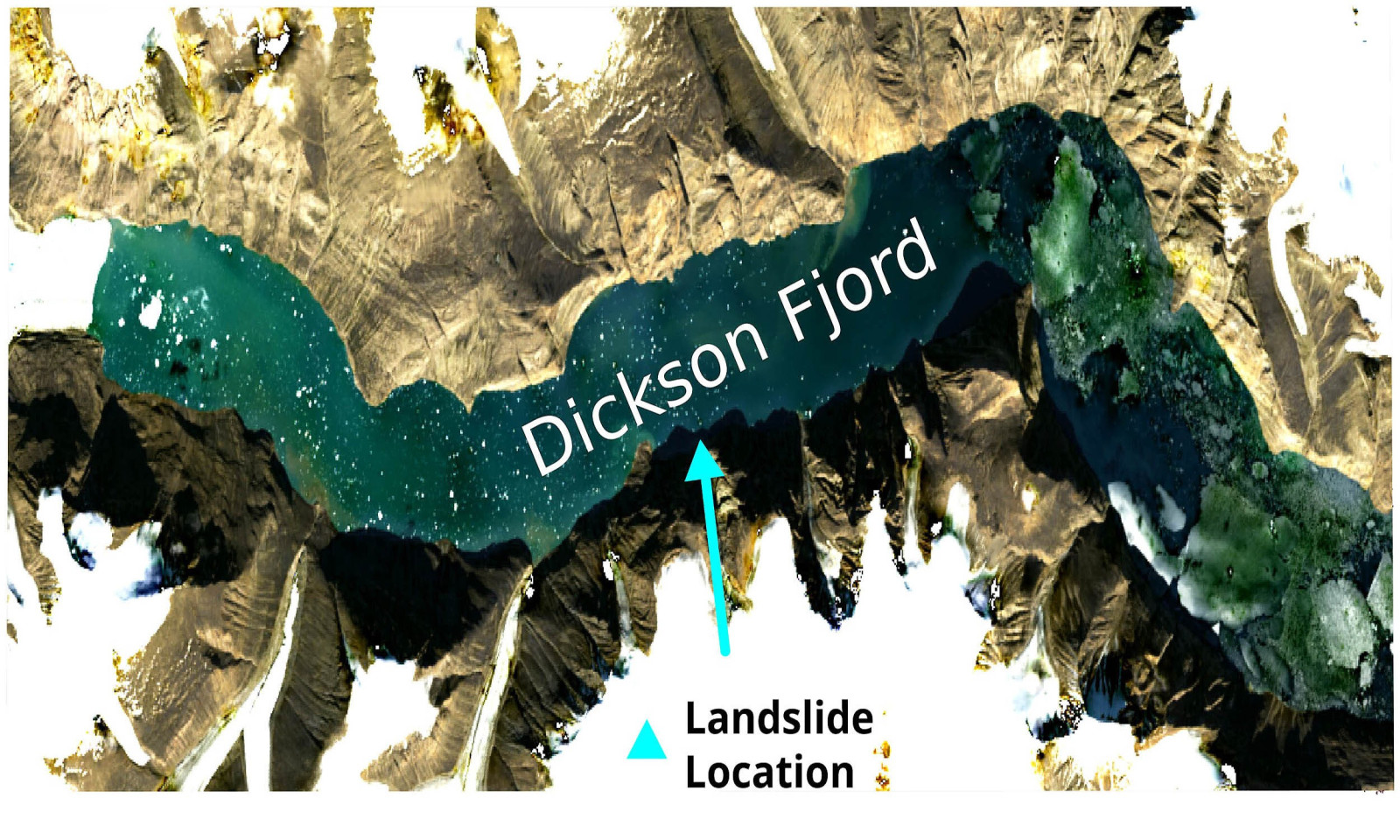
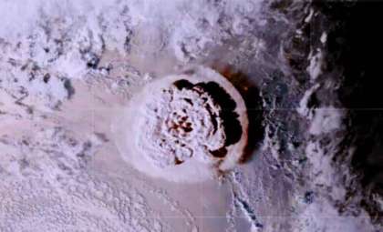
In an isolated area of East Greenland, a mountainside collapsed into a glacial fjord enclosed by steep cliffs, an area previously stable and undisturbed. This event triggered a series of geophysical reactions that extended well beyond the Arctic Circle.
Seismic stations worldwide began detecting a rhythmic vibration—characterized by low frequencies and consistent intervals. This pulse, occurring every 92 seconds, persisted for over nine days. Unlike typical earthquakes, this steady pattern lacked sudden ruptures, and unlike volcanic tremors, it showed no intensifying buildup. Its steady nature indicated a unique source.
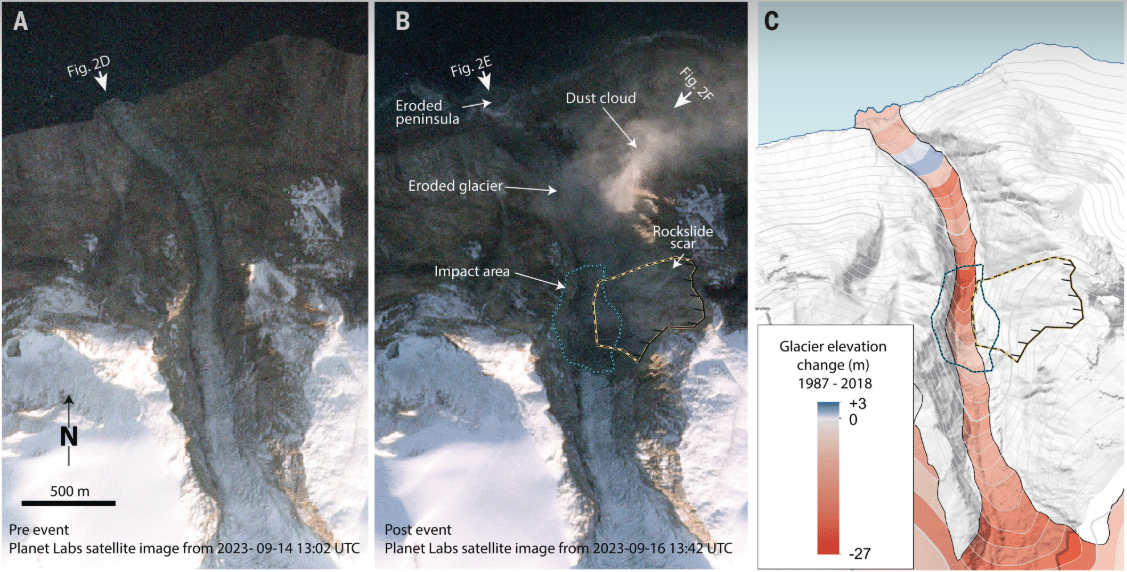
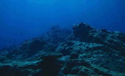
The origin was traced to Dickson Fjord, where on 16 September 2023, a landslide displaced millions of cubic meters of rock and ice into the fjord’s waters. This triggered a seiche — a standing wave oscillating within the fjord, moving the water column and exerting pressure back on the Earth's crust.

Several weeks afterward, a second landslide occurred in the same channel, generating another seismic pulse with similar features though shorter in duration. Together, these events mark the first recorded case of a seiche-induced seismic signal detectable across the globe.
Megatsunami and Seiche Trigger Long-Lasting Seismic Waves
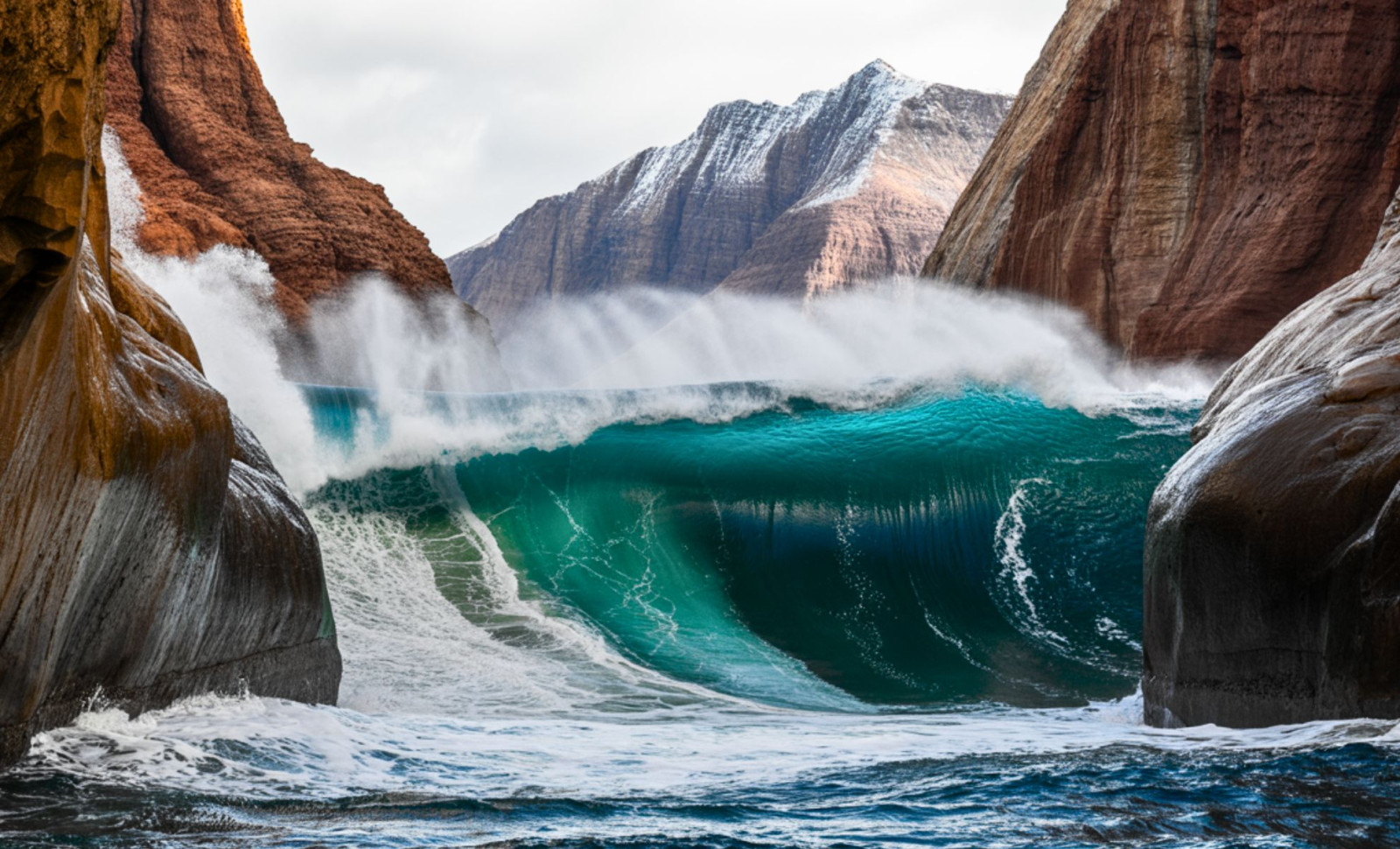
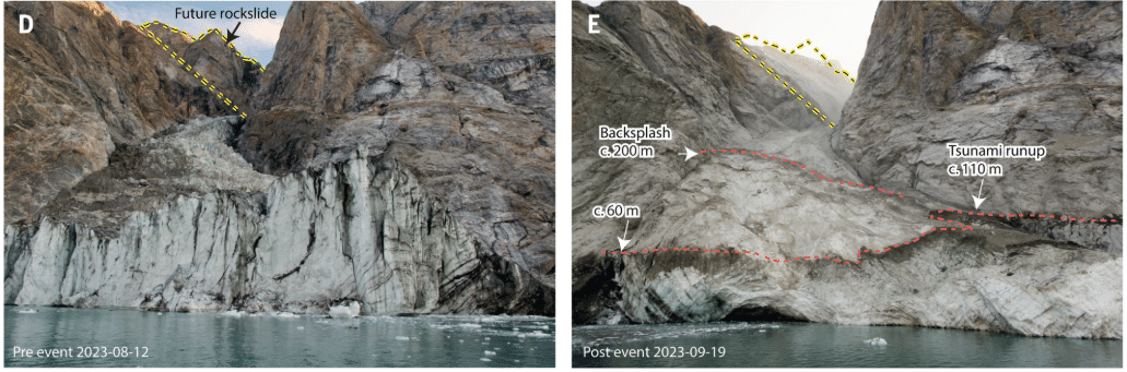
The initial landslide moved more than 25 million cubic yards of debris, roughly equivalent to tens of thousands of Olympic-sized swimming pools. As the debris plunged into the fjord, it created a tsunami estimated to reach nearly 200 meters (650 feet) in height. The wave reflected repeatedly between the fjord’s confined walls, generating a sustained oscillation in the water column long after the initial surge.
This effect, known as a seiche, is well-studied in lakes and bays but rarely observed at this magnitude in fjords. Although the wave’s height varied over time, its frequency remained remarkably steady, applying a continuous mechanical force on the seabed that produced very-long-period (VLP) seismic waves.
These VLP waves traveled through the Earth’s crust, registering on seismic equipment worldwide. The signals exhibited smooth, evenly spaced peaks, sharply contrasting the unpredictable patterns typical of tectonic activity. Detailed analysis showed the source was not a sudden rupture but a distributed horizontal force consistent with the seiche’s oscillating motion.
Satellite data were crucial in validating this mechanism. The Surface Water and Ocean Topography (SWOT) satellite, using radar altimetry technology, measured subtle changes in the fjord’s water level over the days following both landslides. Combining this information with terrestrial seismic readings revealed a clear correlation between water surface tilts and seismic signal timing.
Combining Observations with Advanced Modeling
Research published in Science and Nature Communications utilized both simplified theoretical frameworks and high-resolution numerical simulations to explore the event’s dynamics. One team, using a simplified model of the fjord as a rectangular basin, estimated the seiche's initial amplitude at about 2.6 meters. Another team incorporated a 3-meter resolution granular flow model with detailed fjord topography, estimating amplitudes between 7.4 and 8.8 meters.
Independent measurements from SWOT’s detection of cross-channel slope changes supported these findings. Bayesian regression applied to the satellite’s data produced an amplitude estimate near 7.9 meters, closely matching the numerical simulations.
The same oscillatory signal reappeared on 11 October following a smaller landslide at the identical location. SWOT satellite data recorded renewed surface water tilts 12 hours later, with matching seismic signals detected once again.
"It was an international effort spanning diverse geophysical tools and modeling techniques that allowed us to reconstruct a comprehensive understanding of these rare events," explained Robert Anthony from the U.S. Geological Survey, a contributor to the Science publication.
Arctic Landscape Instability Driven by Rapid Climate Change
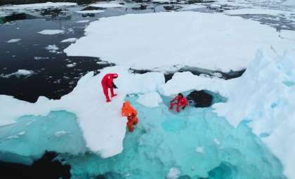
These slope failures occurred in fjords that had been supported by glacial ice for centuries. However, the Arctic is warming at nearly four times the global average, causing glaciers to retreat and destabilize the steep rock faces. Field studies from the Geological Survey of Denmark and Greenland (GEUS) revealed recent rock fractures at elevated regions above Dickson Fjord consistent with recent mass movements.
Alice Gabriel from the Scripps Institution of Oceanography, another author of the Science paper, remarked, “Climate change is altering Earth’s baseline conditions and can trigger extraordinary natural phenomena.” This event adds to a growing catalog of climate-driven geophysical incidents in polar zones. For example, a 2017 landslide in Karrat Fjord caused a devastating tsunami that destroyed a community and resulted in four fatalities.
The message is clear: the stability of Arctic fjord slopes cannot be taken for granted. As ice diminishes, stress redistributes across these terrains, enabling landslides that can quickly escalate into substantial hydrodynamic and seismic disturbances.
- Categories:
- Science


0 comments
Sign in to Comment