
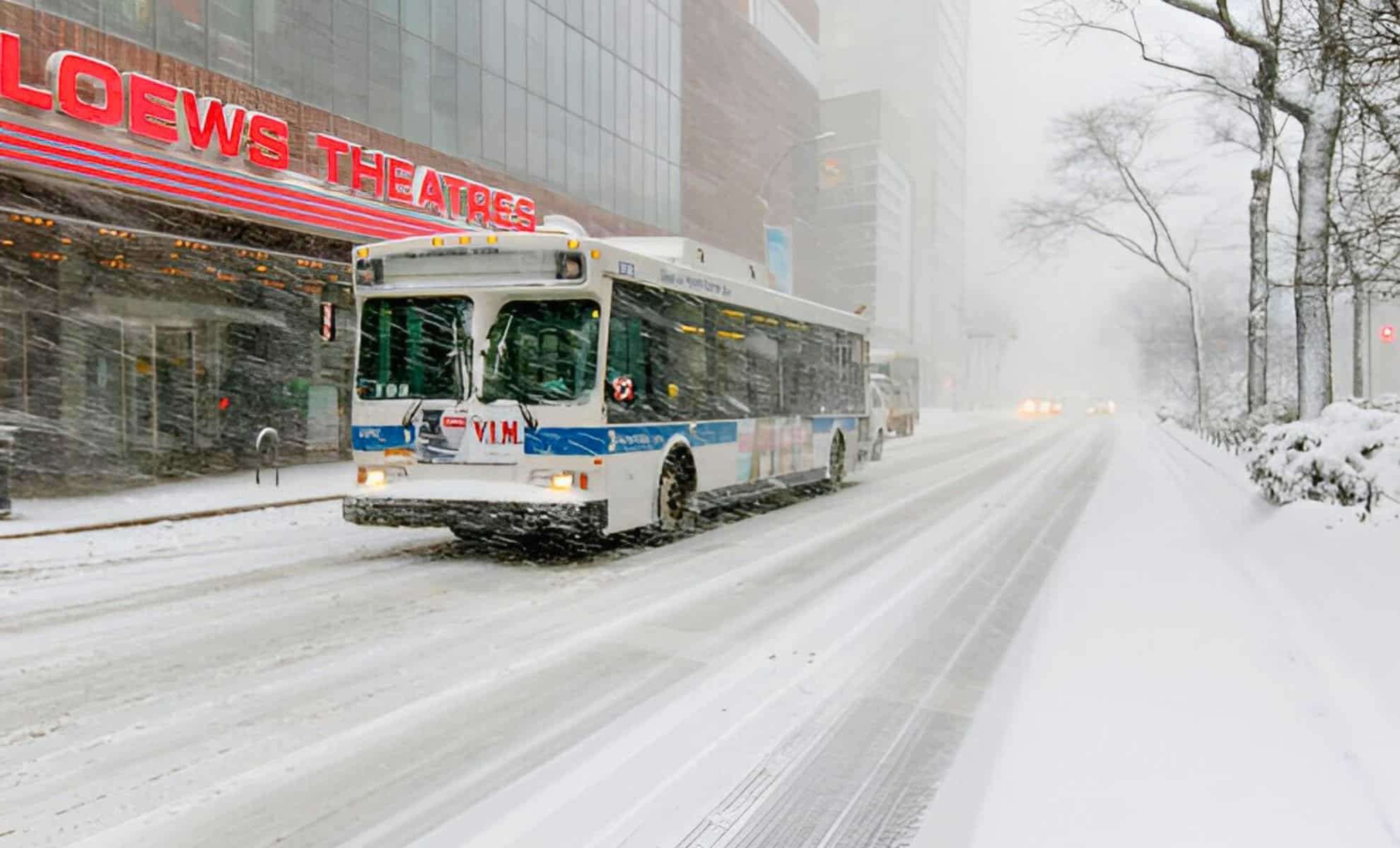
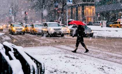
A powerful polar vortex is sweeping across the United States, bringing with it bitter cold, substantial snowfall, and hazardous icy conditions affecting millions. The U.S. National Weather Service (NWS) along with its Weather Prediction Center (WPC) have released alerts for a significant winter storm forecasted to impact vast areas of the Central and Eastern U.S. from January 4 through January 6.
Winter Storm Expected to Impact Central Plains Through Mid-Atlantic
The WPC has expressed increasing certainty about a developing winter storm capable of producing dangerous snow and ice accumulations beginning late Saturday. This system will affect many regions over the weekend and extend into early next week, likely causing travel disruptions, power interruptions, and challenges to everyday activities.
Storm Progression and Affected Regions:
- Central Plains:
- Snow will start late Saturday, with the heaviest snowfall anticipated north of Interstate 70, encompassing parts of Kansas, Missouri, Nebraska, and Illinois.
- The WPC predicts a 60–90% probability of snowfall exceeding 6 inches (15.24 cm), with some areas possibly seeing even greater amounts.
- Ohio and Tennessee Valleys:
- By Sunday, the storm will advance eastward, impacting Indiana, Ohio, Kentucky, and Tennessee.
- The southern Appalachian Mountains could face icy conditions Sunday night, creating dangerous travel scenarios.
- Mid-Atlantic Region:
- Snow and ice are expected in the Mid-Atlantic states late Sunday through Monday, affecting places like Virginia, Maryland, Washington D.C., and parts of North Carolina, potentially causing widespread travel disruptions.
Here are the latest Key Messages for the winter storm set to produce significant snow & ice accumulations from the Central Plains to the Mid-Atlantic this weekend & into early next week. Expect potentially dangerous travel conditions in some locations. pic.twitter.com/cRieD6hKpF
— NWS Weather Prediction Center (@NWSWPC) January 2, 2025Add Cosmo Herald as a Preferred Source

Mid-South Faces Serious Ice Threats
The WPC cautions of considerable sleet and freezing rain expected across the Mid-South, including zones stretching from eastern Kansas and the Ozarks to western Tennessee, Arkansas, and northern Mississippi. Reports indicate up to a quarter-inch of ice buildup could make roads perilous and cause:
- Slippery driving conditions
- Damage to power infrastructure
- Widespread outages, especially where ice combines with heavy snowfall
This icing risk will persist into Sunday night, particularly across the Tennessee Valley and southern segments of the Appalachians.
Chilly Temperatures Dominate Eastern United States Amid Polar Vortex
Aside from snow and ice, the eastern United States will witness temperatures well below normal through mid-January due to the southward push of the polar vortex. The National Weather Service warns the Southeast, including Florida, will experience the season’s coldest air so far.
Subfreezing conditions threaten Florida’s citrus industry, a key economic sector, and may trigger rare phenomena like frozen iguanas dropping from trees. These events exemplify the unique vulnerabilities Florida faces during Arctic cold outbreaks.
Conversely, parts of the Western U.S., including the Pacific Coast, Southwest, Alaska, and Hawai’i, will enjoy temperatures above average, creating a sharp contrast with the frigid East.
Forecasts May Adjust as Storm Develops
The NWS Weather Prediction Center emphasizes that forecast updates are likely as the storm progresses. Small deviations in the storm’s path could impact snow and ice totals as well as regional effects. Locals are urged to monitor the latest NWS updates and local forecasts.
Understanding the Polar Vortex
The polar vortex is a large area of low-pressure, cold air swirling around the North Pole. In winter, this system can weaken and push southward, ushering frigid Arctic air into lower latitudes. Although a natural pattern, January 2025 may rank among the most severe Arctic intrusions in recent decades.
Past polar vortex disruptions have sparked notable cold spells in years like 1977, 1982, 1985, 1989, and 2014. AccuWeather anticipates this January could deliver the lowest temperatures since 2011, potentially marking an historic winter season across the U.S.
Preparing for Impending Harsh Winter Conditions
With the forecast warning of hazardous conditions across much of the Central and Eastern U.S., experts recommend these safety measures:
- Gather essential supplies such as food, water, and batteries in case of outages.
- Limit travel, especially where heavy snow or ice is expected.
- Protect plumbing and shield plants and pets from freezing weather.
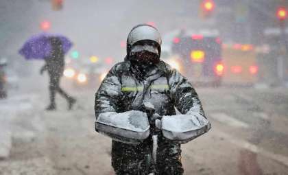
- Wear multiple layers of warm clothing and reduce outdoor exposure to prevent frostbite and hypothermia.
This advancing winter storm, fueled by the polar vortex, is predicted to bring intense cold, substantial snow, and dangerous ice to large portions of the Central and Eastern United States. Residents should stay alert, follow safety advisories, and prepare for potentially life-threatening weather conditions in the days ahead.
- Categories:
- News


0 comments
Sign in to Comment