
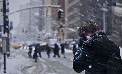
A quick-moving clipper system is set to sweep through the region tonight, advancing from the northwest and bringing widespread snow coverage. Snow is predicted to begin between 4 and 7 a.m. Thursday, affecting the area during morning travel hours as it moves from west to east.
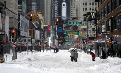
Tracking just south and west of Wisconsin, this system will blanket a large portion of the state with snow, including zones likely to experience heavier snowfall during the morning and early afternoon. Snowfall will taper off by the evening; however, slick road conditions will pose hazards throughout the day.
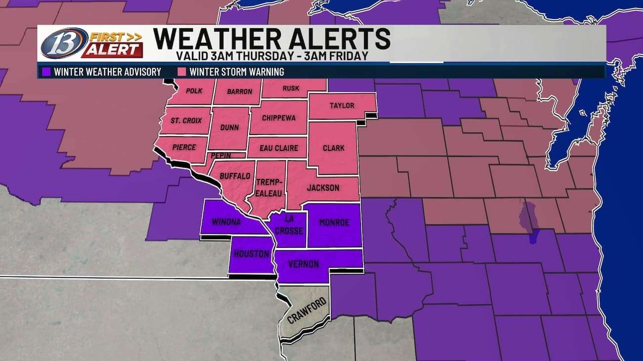
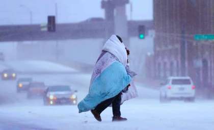
East-southeast winds gusting between 10 and 20 mph will cause blowing snow, reducing visibility in some spots. A Winter Storm Warning remains in effect over much of the area, especially for the Chippewa Valley where the highest snow totals are expected.

Meanwhile, the Coulee Region—including places like La Crosse—is under a Winter Weather Advisory due to forecasted lighter snowfall. The National Weather Service has designated Thursday as a 13 First Alert Weather Day in light of the anticipated travel difficulties.
Expected Snowfall Amounts and Coverage
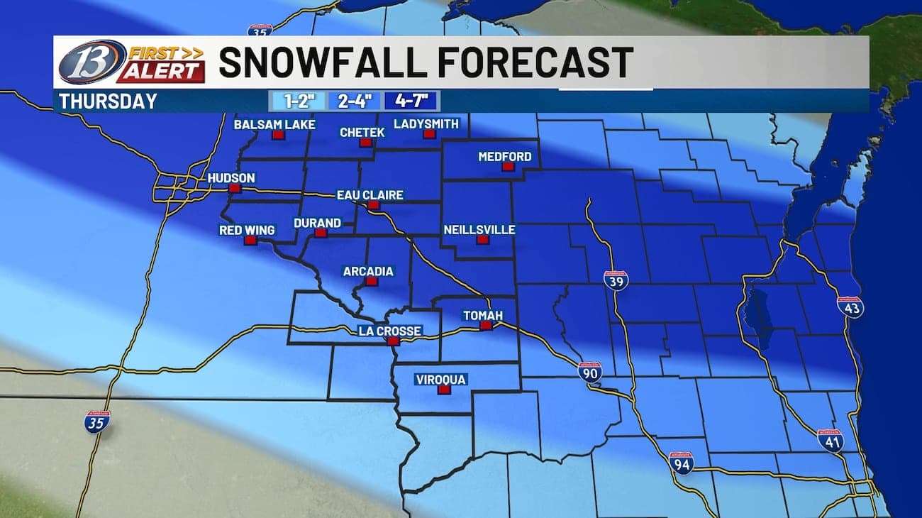
The largest snow accumulations are forecasted in the Chippewa Valley and adjacent regions, with totals between 4 and 7 inches. As the storm advances south, snowfall intensity is expected to decline, leaving counties like Monroe and Juneau with 2 to 4 inches of snow. Uncertainty remains over where the most intense bands of snow will set up, so localized higher totals remain possible within warning zones.
Projected Snowfall Breakdown:
Note: Snowfall totals can shift depending on where heavier snow bands settle.
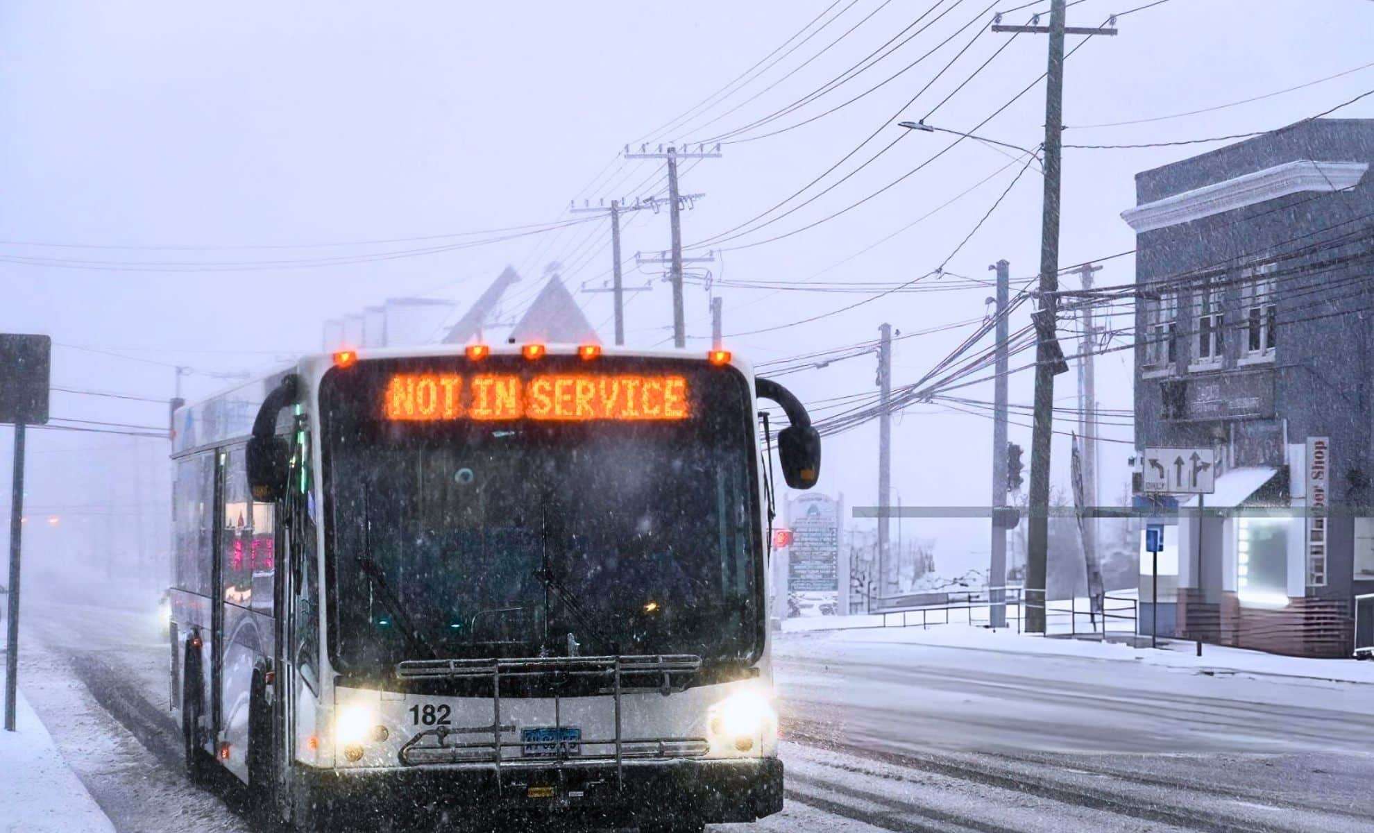
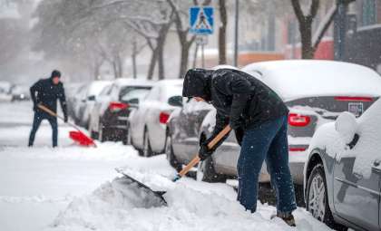
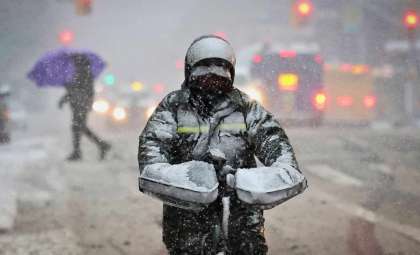
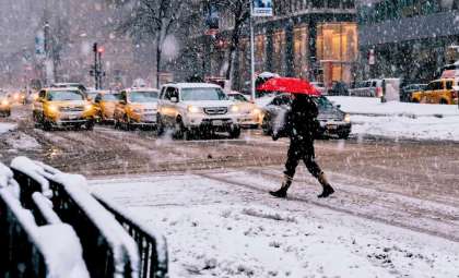
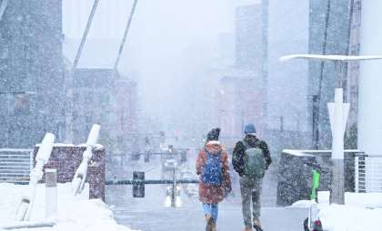
This event will be the first substantial snowfall accumulation across the area for the season, so motorists should remain vigilant. Hazardous driving conditions are anticipated on major routes such as I-94 and US-53, as well as smaller roadways. Motorists are advised to increase following distance and avoid abrupt maneuvers.
Storm Progression and Weekend Weather Outlook
Snowfall is expected to taper off Thursday evening; however, gusty winds may continue to create blowing snow and lowered visibility into the night. Following the storm’s departure, a high-pressure system will build from the north, ushering in clearer skies and calmer weather conditions on Friday. Temperatures will rise to the low 20s with a gentle north-northwest breeze.
Saturday, the day of the winter solstice, is expected to be crisp and clear with highs near 20°F (-6.67°C), marking a classic cold start to winter. On Sunday, southerly winds return, moderating temperatures slightly to the mid-20s with partly sunny skies.
Evaluating White Christmas Chances and Early Holiday Week Weather
The snowfall from Thursday’s system has increased the odds of a White Christmas across much of Wisconsin. While some melting is likely over the weekend as temperatures edge above freezing, sufficient snow cover should remain through the holiday.
Looking into early next week, another weather system is forecast to approach from the west, possibly bringing light snow or a wintry mix to regions such as Eau Claire and Black River Falls. Current models suggest accumulation will be minimal. By Christmas Eve, expect mostly dry conditions with cloudy skies and highs near freezing.
Holiday Week Forecast Highlights:
- Monday: Chance for light snow or wintry mix; highs around 32°F.
- Tuesday (Christmas Eve): Cloudy with no precipitation expected; highs near 32°F.
- Wednesday (Christmas Day): Overcast skies with temperatures ranging from the low to mid-30s.
Despite some thawing, Thursday’s snowstorm has laid a solid foundation for much of the area to enjoy a snow-covered Christmas.
Winter Driving Safety Recommendations
- Prepare in advance: Give yourself extra travel time, stay updated on weather reports, and consult real-time road conditions through resources like 511 Wisconsin.
- Vehicle readiness: Check that tires have proper pressure, wiper blades are operational, and pack an emergency kit including blankets, snacks, and water.
- Safe driving: Keep a generous following distance, avoid abrupt stops, and reduce speeds when encountering blowing snow or icy roads.
This clipper storm marks the onset of this season’s first significant snow event, which will likely disrupt travel during Thursday. With snowfall reaching up to 7 inches in certain parts of the Chippewa Valley and lighter amounts in southern zones, drivers should exercise caution throughout the day.
- Categories:
- News ,
- Climate change


0 comments
Sign in to Comment