
Governor Kathy Hochul of New York has announced a state of emergency across 11 counties in Western New York and the North Country as a powerful lake-effect snowstorm struck starting November 29, 2024. This storm ranks among the most intense this season, delivering snowfalls that could reach as high as 6 feet (close to 2 meters) in parts of the region. Officials have enacted extraordinary strategies to handle this critical weather event.
Significant Lake-Effect Snowstorm Impacts the Region
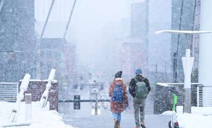
The ongoing storm is a textbook example of a lake-effect snow event, but its force has surpassed typical levels. Wind-driven snow is primarily affecting Western New York along with the North Country, which are particularly vulnerable areas due to their proximity to the Great Lakes.
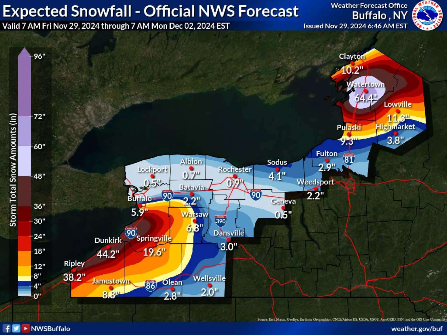
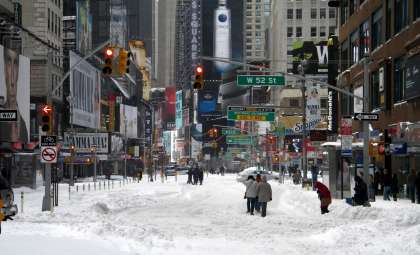
Snow depth forecasts are staggering. Locations such as Watertown could see accumulations nearing 70 inches (approximately 1.8 meters), a volume uncommon even for this typically snowy region. In Erie County, the site of the Buffalo Bills’ stadium, snow totals may reach up to 4 feet (around 1.2 meters), causing disruptions to both transportation and sporting events in Buffalo.

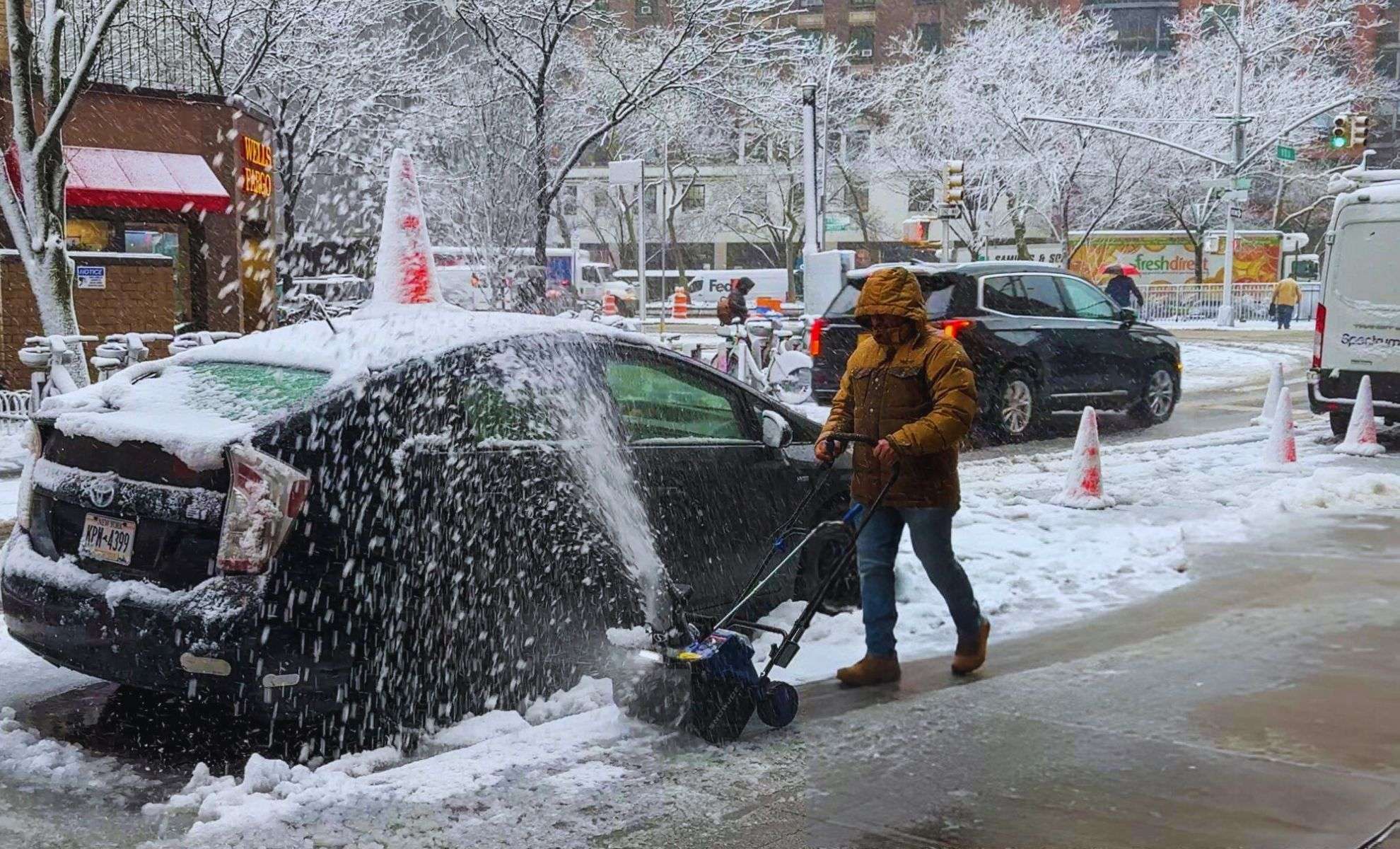
Driving will be severely compromised in the most affected zones, with visibility dropping to less than 400 meters (a quarter mile) in places. These hazardous conditions have led authorities to take stringent safety actions to safeguard residents and commuters alike.
Snowfall Predictions and Affected Counties
The storm's impact spans the counties of Oswego, Jefferson, Lewis, St. Lawrence, Allegany, Erie, Cattaraugus, Chautauqua, Genesee, Herkimer, and Wyoming. Cities such as Dunkirk and Watertown are bracing for substantial snowfall, potentially topping 2 meters by Monday morning. Specifically, Watertown is forecasted to receive nearly 70 inches (1.8 meters), severely hampering mobility.
Detailed Snowfall Totals in Key Areas
Snow accumulation estimates for select towns include:
- Dunkirk: Between 29 and 47 inches (around 1.2 meters)
- Jamestown: From 9 to 17 inches (43.18 cm)
- Pulaski: Approximately 8 to 16 inches (40.64 cm)
- Lowville: Ranges from 11 to 21 inches (0.53 meters)
- Watertown: Expected 49 to 64 inches (up to 1.6 meters)
In Erie County, snowfall could hit 4 feet (1.2 meters) before Sunday’s Buffalo Bills game, affecting not only sports but also local traffic.
Road Safety Measures and Travel Restrictions
To reduce dangers on the roads, officials have implemented strict bans on heavy commercial vehicles, including double trailers, along several major routes such as:
- Interstate 90 (Thruway) from the Pennsylvania border to Buffalo
- Interstate 86 between the Pennsylvania border and Interstate 390
- U.S. Route 219 from the Pennsylvania border to the Thruway
These restrictions aim to decrease accident risks amid the perilous driving environment.
National Guard on the Ground
Over 100 National Guard personnel have been dispatched to the most impacted locations to assist with clearing roads, evacuations, and providing emergency aid.
Consequences for Residents and Communities
The declared emergency is already affecting daily routines across the region. Anticipated closures of many schools and businesses have been announced, alongside the establishment of shelters and support centers for stranded or displaced individuals. Additionally, frequent power outages are expected, further challenging affected communities.
Managing the Crisis with Coordinated Efforts
Though conditions are severe, coordinated response efforts between state and local agencies, supported by the National Guard and rescue teams, are working to minimize risk and maintain public safety in this historic winter event.
Residents in Western New York and the North Country are encouraged to stay updated on weather reports and to take necessary precautions as this unprecedented storm unfolds.
- Categories:
- News ,
- Climate change


0 comments
Sign in to Comment