
A groundbreaking study published in the Proceedings of the National Academy of Sciences has uncovered a vast subterranean groundwater system beneath Oregon’s Cascade Range. Acting much like a colossal sponge, this geological formation contains an estimated 81 cubic kilometers of water, a volume with the potential to transform drought management strategies across the Western United States.
Massive Volcanic Aquifer Lies Hidden Below Oregon’s Cascades
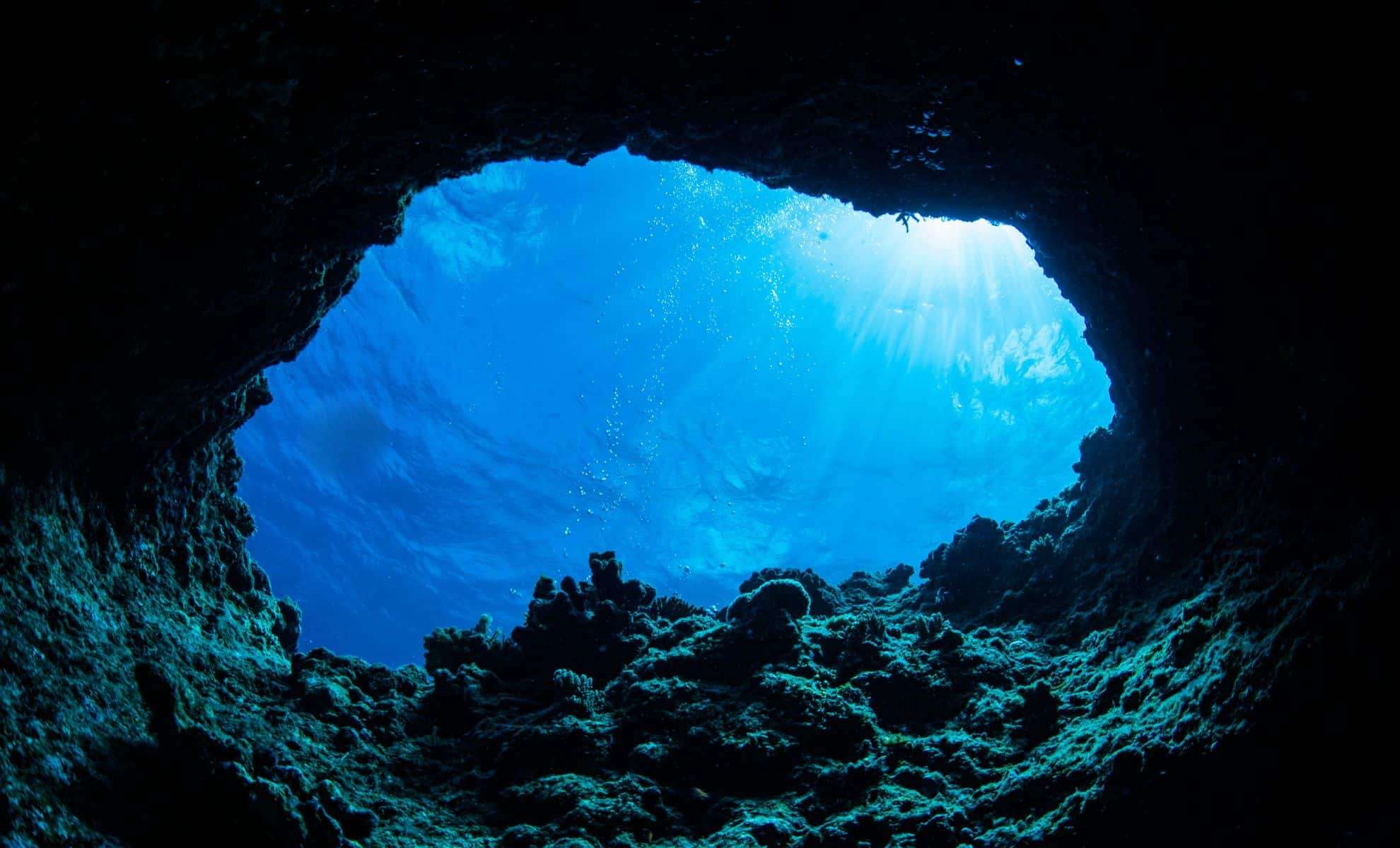
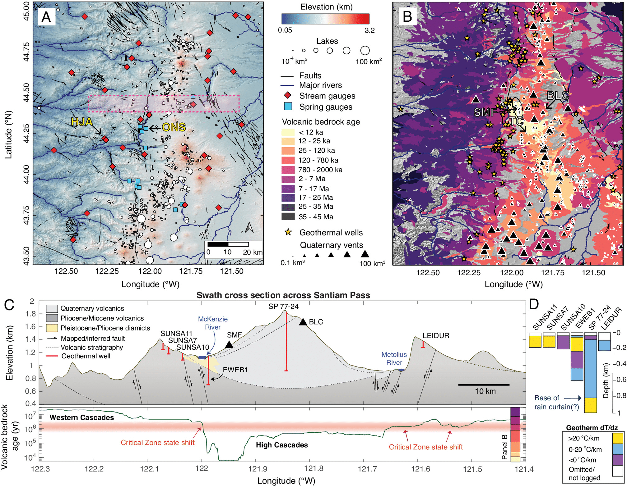
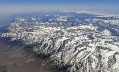
Scientists have identified a significant aquifer located beneath the snow-covered peaks and rugged landscapes of Oregon’s High Cascades. Composed of relatively young volcanic rocks formed by repeated lava flows, this porous geological layer efficiently captures snowmelt and channels it deep underground. Researchers utilized temperature deviations observed in deep geothermal wells, some extending over half a mile below the surface, to trace groundwater movement. The presence of cooler-than-expected zones at these depths provided clear evidence of the expansive water storage.
“Water will be increasingly vital as climate change advances,” said Leif Karlstrom, volcanologist at the University of Oregon and lead author of the investigation. His research highlights how these younger volcanic formations are not only important geologically but also serve as critical hydrological reservoirs in a warming world.

Water Stored Exceeds Capacity of California’s Reservoirs
The scale of this geological water store is truly astounding. As noted by Gordon Grant, a research hydrologist at the U.S. Forest Service, “The confirmed amount of water within just the central Cascades equals double the total reservoir storage of the entire Columbia River basin, stretching all the way to the Canadian border, and also surpasses the entire reservoir capacity held by California.” This highlights the aquifer’s crucial role as a potential water supply safeguard amid climate uncertainties.
This discovery challenges long-standing assumptions about water availability in the Pacific Northwest. Traditional resource management has largely depended on surface reservoirs, which are exposed to evaporation, sediment build-up, and changing snowpack patterns. In contrast, this deep volcanic aquifer offers a far more consistent and resilient water reserve that could support agriculture and urban needs across state lines.
Enhancing Drought Resilience and Combating Wildfires
Beyond its sheer volume, the aquifer's slow-release properties help sustain ecosystems during dry spells. Snowmelt infiltrates the permeable volcanic rock, storing water underground that gradually resurfaces via springs and streams over time. This natural delayed-discharge mechanism ensures continuous streamflow throughout the dry season, helping maintain plant and animal life in periods of limited rainfall.
Such water availability may also reduce wildfire risks by keeping soils moist and vegetation hydrated, thus curtailing fire spread and intensity. Regions supplied by these underground reserves could act as firebreaks, promoting quicker ecosystem recovery after blazes and serving as a vital climate adaptation resource alongside their water storage functions.
Climate Change Poses Challenges to This Subsurface Reservoir
Although substantial, the aquifer’s sustainability depends largely on snowpack recharge. Variations in precipitation, temperature, and snowfall timing could threaten long-term groundwater supply. As Gordon Grant cautioned, “While the volume of water is large, it remains vulnerable to climatic shifts.” Extended drought periods might surpass recharge rates, risking depletion and increasing vulnerability for communities and agriculture dependent on this subsurface bank.
Ongoing research aims to integrate climate and hydrological data into refined models connecting surface weather dynamics with deep groundwater flows. These advanced tools could guide future water management policies and drought mitigation procedures throughout the Western U.S.
Unveiling New Links Between Volcanoes and Water Systems
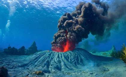
The investigation also revealed important insights for volcanic science. The Cascade Volcanic Arc is among North America’s most seismically active zones, where interactions between magma and groundwater can elevate eruption hazards. Pinpointing where water accumulates beneath the surface can improve forecasting of volcanic activity by highlighting zones at higher risk for explosive events.
Understanding the relationship between magma chambers and deep aquifers may become an essential component of volcanic hazard assessment. Since hydrothermal phenomena like geysers and hot springs are influenced by these underground water reservoirs, this research advances predictions about eruption types and locations throughout the Cascades.
- Categories:
- News


0 comments
Sign in to Comment