
The Copernicus Sentinel-1D satellite has produced its inaugural radar imagery shortly after deployment, revealing exceptional resolution and precision. These images, covering key regions such as Antarctica, South America, and Germany, herald a breakthrough in Earth monitoring abilities. The European Space Agency (ESA) emphasizes that this accomplishment sets a new benchmark in the speed of space data transmission, underscoring the satellite's operational efficiency. This event marks a crucial advancement for climate monitoring and enhances our understanding of Earth’s environmental state.
Rapid Activation: Sentinel-1D’s Fast Imaging Success
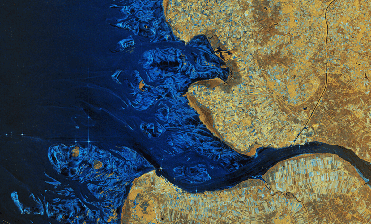
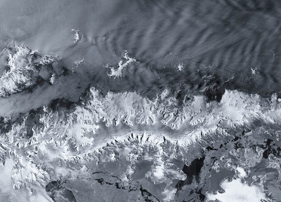
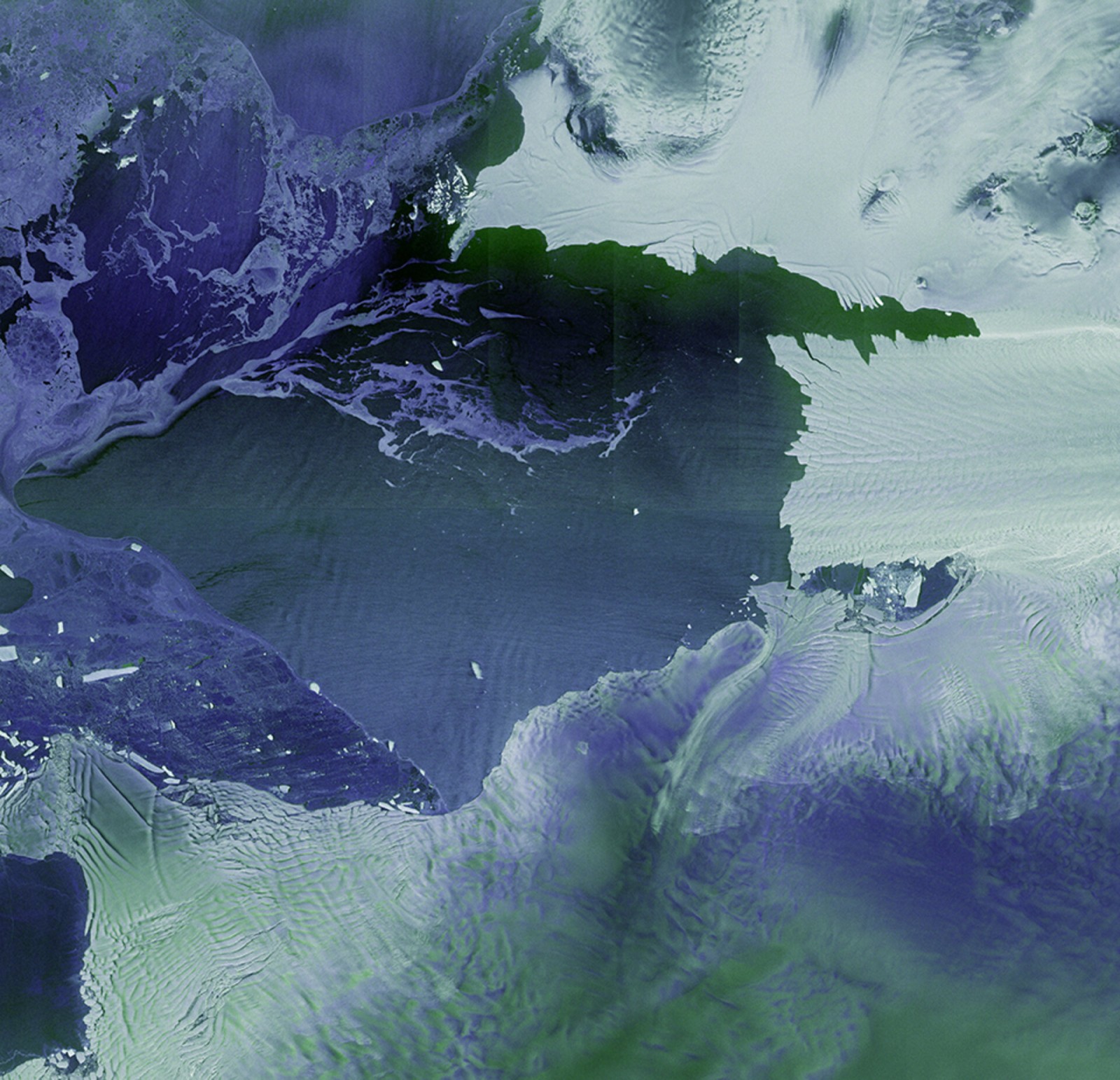
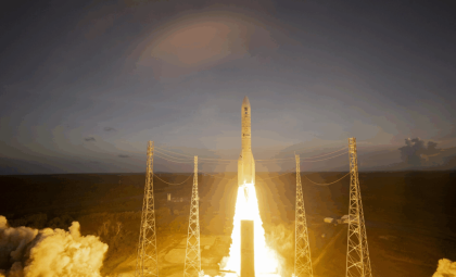
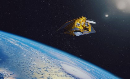
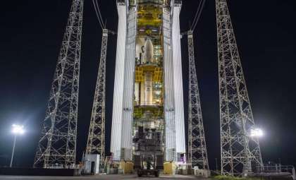
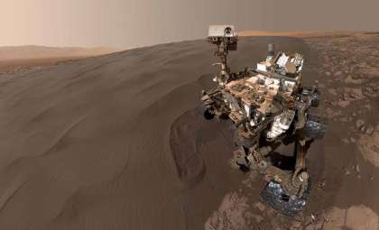
Sentinel-1D, launched on November 4, 2025 from French Guiana, was engineered to perform swift Earth observation tasks. Despite its recent entry into orbit, the satellite captured its first set of high-quality radar images within just over two days, establishing a new timing record among radar observation satellites. These images, obtained from areas like the Antarctic Peninsula, Tierra del Fuego, and Bremen in Germany, were processed remarkably quickly—within 50 hours post-launch.
ESA heralded this feat as a testament to the meticulous preparation and teamwork involved. As ESA’s Sentinel-1 Mission Manager Nuno Miranda stated,

“These images have been downlinked and processed within an exceptionally short timeframe. Some of us remember that when Sentinel-1B was launched, it delivered its first radar images within two hours of activation. Sentinel-1D achieved this in an even faster time, setting what we believe is a new record for space radar.”
This swift delivery underscores both the satellite’s capabilities and the exceptional proficiency of the teams supporting it.
Advanced Radar Capabilities Enhancing Climate Surveillance
A key highlight of Sentinel-1D is its synthetic aperture radar (SAR) technology, enabling detailed Earth surface imaging regardless of weather or daylight conditions. This capability is vital for areas like the polar regions, where cloud cover and extended periods of darkness challenge traditional optical satellites.
Thanks to its radar system, Sentinel-1D can penetrate clouds and collect crucial data on Earth’s evolving landscapes even under extreme environmental conditions. Its high-resolution imaging plays a critical role in monitoring glaciers, particularly those in Antarctica, which serve as important indicators of climate change. These precise radar images allow researchers to observe glacier retreat rates and better predict their impact on global sea levels.
Antarctic Insights: Tracking Glacial Changes and Climate Impact
One of the earliest areas imaged by Sentinel-1D was the Antarctic Peninsula, a region highly sensitive to climate shifts. Glaciers here, especially those adjacent to the Thwaites Glacier, are significantly affected by rising temperatures. These glaciers contribute substantially to sea level rise as they melt, playing a pivotal role in the global climate ecosystem. Sentinel-1D’s imagery vividly depicts the division between ice and ocean, shedding light on glacial transformations over time.
The Antarctic Peninsula images highlight the urgent vulnerability of these ice formations. As ESA Director Simonetta Cheli remarked,
“This is a great achievement and I am so pleased to see these results from Sentinel-1D. It really places the data we receive from our innovative missions in the spotlight – it is data that we as a society rely upon as we continue to discuss and take action on climate change.”
Beyond mere imagery, these data sets are indispensable tools in the global climate response.
Sentinel-1D’s Role in Advancing Climate Research and Policy
The debut radar images from Sentinel-1D provide not only a snapshot of Earth today but also a critical resource for continuous climate assessment. These visuals aid scientists, lawmakers, and environmental groups in real-time monitoring of planetary changes. Sentinel-1D's timely data supports more informed decisions on climate actions.
This mission further highlights the importance of global cooperation. As ESA’s Sentinel-1 Project Manager Ramón Torres noted,
“Unveiling the first images from Sentinel-1D is an incredibly emotional milestone for all of us. The sense of awe and fulfilment goes beyond the thrill of liftoff itself, because seeing those breathtaking images from the SAR instrument brings our hard work to life.”
The concerted efforts of international agencies and nations reinforce the vital contribution of satellite technologies in addressing worldwide environmental challenges.
- Categories:
- Space


0 comments
Sign in to Comment