
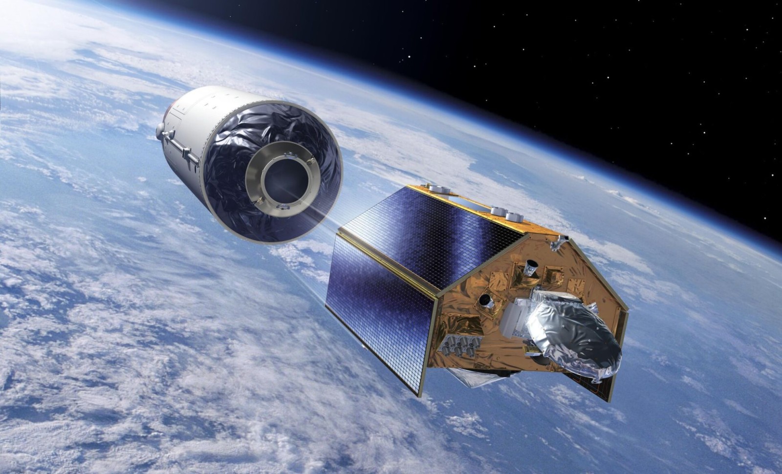
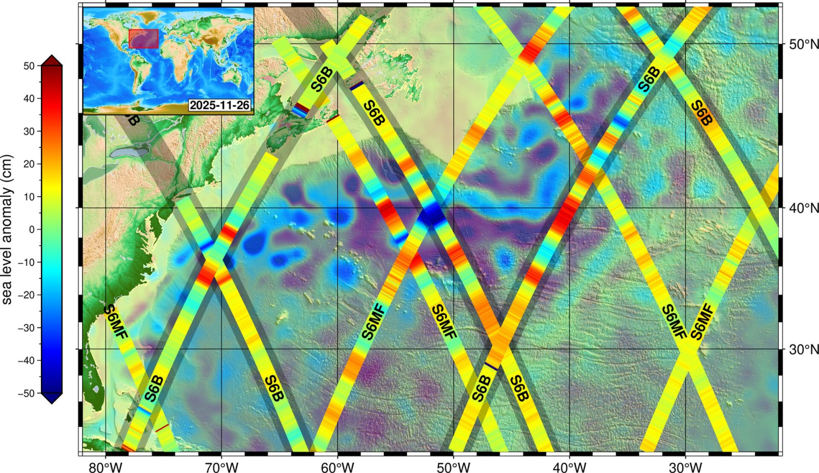
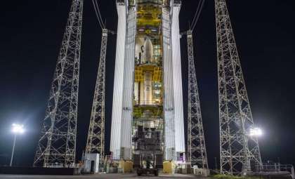
The Copernicus Sentinel-6B mission has successfully transmitted its inaugural data batch. Launched in November 2025, this satellite’s first imagery reveals sea level fluctuations across the North Atlantic Ocean, extending a vital climate monitoring program. These new observations bolster the extensive dataset tracking changes in sea-surface height, a cornerstone metric for assessing global climate trends.
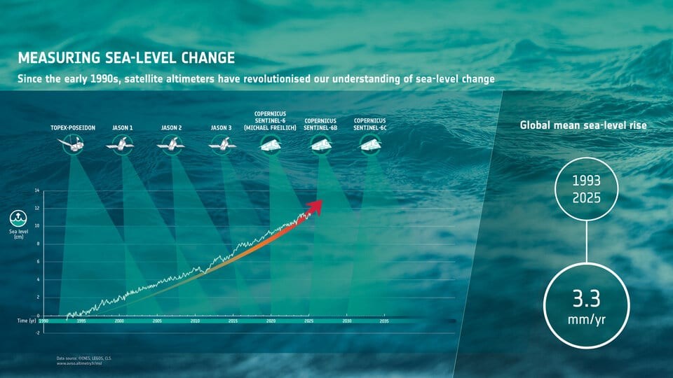
After achieving orbit just days after its launch on November 17, Sentinel-6B recorded its first measurements on November 26. This mission continues the legacy of Sentinel-6 Michael Freilich, initiated in 2020, aiming to deliver the most precise and current sea-level data available.
Monitoring Rising Seas: Essential Insights for Climate Science
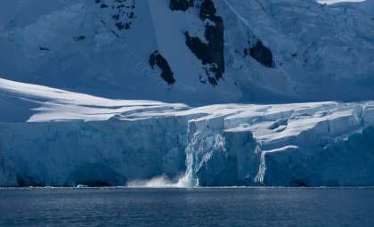
Sentinel-6B represents a pivotal advancement for evaluating one of climate change’s most significant impacts: the accelerating rise of sea levels. Melting glaciers, shrinking polar ice, and the thermal expansion of oceans contribute to elevated global sea levels, threatening coastal habitats, urban centers, and critical infrastructure worldwide.

“This is the second launch for the Sentinel-6 mission, and I am very pleased to see that industry and agency teams have managed again to guarantee the essential continuity of the mean sea-level record, adding five years to the 35 years already accumulated,” said Pierrik Vuilleumier, ESA’s Project Manager for the mission.
ESA highlights that Sentinel-6B’s primary goal is to continue monitoring these changes, building on a database that spans more than 35 years of consistent sea-level observations. This continuous tracking is vital, as rising seas have direct implications for climate dynamics, weather systems, and flood risk management in vulnerable regions.
By providing meticulous measurements of sea-surface height, the data supports effective coastal planning, emergency preparedness, and navigation safety.
The Significance of the Gulf Stream for Climate and Biodiversity
From its initial dataset, Sentinel-6B has provided detailed imagery of the Gulf Stream, an influential current flowing from the Gulf of Mexico into the North Atlantic Ocean.
“The Gulf Stream is a hugely important area of the North Atlantic Ocean, not only for the role it plays in global weather patterns and climate, but also because it’s a busy shipping route as well as a key ecosystem for marine species and therefore an important fishing zone”.
What stands out in this debut image is the enhanced clarity and precision, enabling researchers to observe subtle shifts in the Gulf Stream’s dynamics more accurately than before.
Innovative Instruments Driving Sentinel-6B’s Achievements
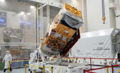
The early achievements of Sentinel-6B owe much to its sophisticated onboard technology. Central to the satellite is the Poseidon-4 altimeter, an advanced radar device that precisely times pulses sent from the spacecraft to Earth and back. This enables exceptional accuracy in measuring sea-surface heights.
ESA’s Sentinel-6 Mission Scientist, Alejandro Egido, notes the encouraging performance of the satellite so far.
“It is very encouraging to see Sentinel-6B performing so well soon after launch. While the instruments will undergo a careful calibration phase over the coming months, the quality of the initial dataset is very promising. Once this phase is completed, the mission will be fully prepared to extend the sea-surface height measurement record through at least 2030.”
The progress represented by Sentinel-6B is a major boon for scientists aiming to refine understanding of sea-level trends with the finest available resolution.
- Categories:
- Science


0 comments
Sign in to Comment