
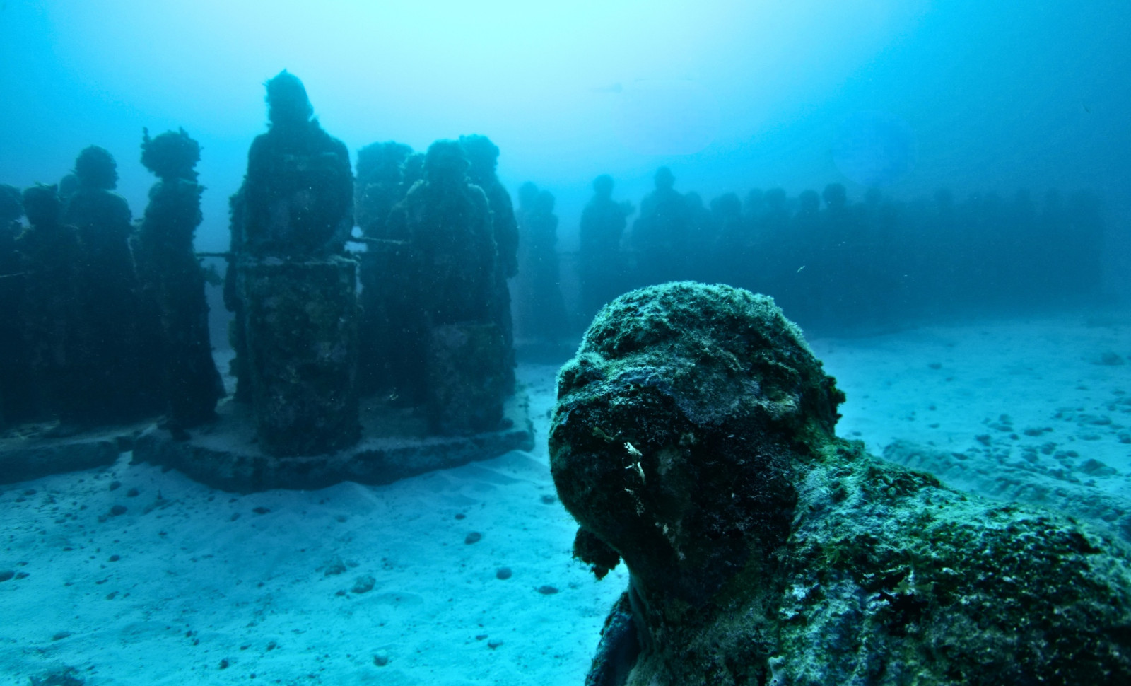
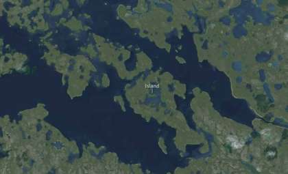
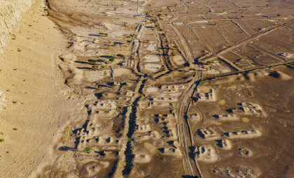
Repeated geometric patterns uncovered beneath shifting sands caught the attention of divers near the northwest edge of Lake Issyk-Kul in Kyrgyzstan. As currents shifted the sediment, clear lines of fired bricks, stone formations, and ancient wooden beams emerged. These formations defied natural arrangement, hinting at human construction. In November 2025, an expedition confirmed these signs pointed to a remarkably well-preserved medieval settlement lying just a few meters underwater.
This underwater city lies close to the village of Toru-Aygyr, submerged at depths ranging from one to four meters. The shallow waters enabled archaeologists to grid the lakebed and revisit the site even after storms disturbed the sediment. According to Live Science, rather than scattered debris, the team discovered four distinct clusters indicating structured human activity.
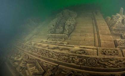
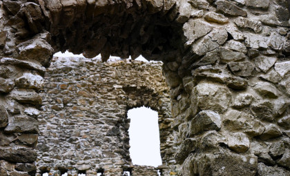
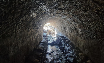
In the first zone, researchers found buildings made of kiln-fired bricks. One remaining structure housed an intact millstone, a heavy grinding tool typical of permanent settlements rather than temporary campsites. Collapsed walls composed of stone and timber suggested that the buildings had fallen in place. Additionally, evidence of a public edifice bearing Islamic architectural features was noted, possibly pointing to a mosque, madrassa, or bathhouse.

Underwater Muslim Graveyard Extending Over 14 Acres
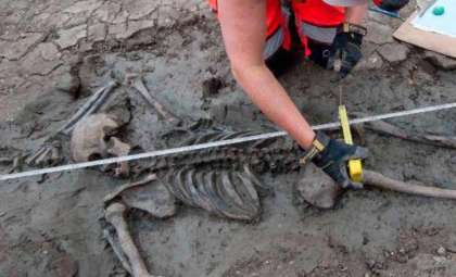
Divers also identified a sizable Muslim burial ground covering about 14 acres underwater. Remains of two individuals were found interred according to Islamic traditions, facing Mecca. This cemetery likely originates from the 13th or 14th centuries, coinciding with the Golden Horde's introduction of Islam to the region.
The settlement’s history dates back even further, tracing to the era of Karakhanid rule starting in the 10th century. This shows it was a thriving town across several generations instead of a transient trade stop. Maksim Menshikov, leading the expedition from the Russian Academy of Sciences’ Institute of Archaeology, highlighted the region’s religious diversity before Islam took hold. "The residents practiced different faiths: pagan Tengrianism, Buddhism, and Nestorian Christianity," he explained.
A Catastrophic Earthquake Submerged the City Within Hours
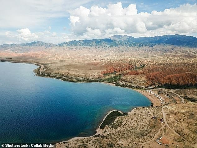
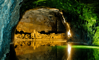
Known as one of the world’s deepest lakes, Issyk-Kul reaches depths near 700 meters, yet the ruins are found in shallow areas close to today’s shoreline. This coastal corridor once connected travelers moving between China and the West. Valerii Kolchenko from Kyrgyzstan’s National Academy of Sciences described the dramatic event. "A devastating earthquake in the early 15th century caused the city to be swallowed by lake waters," he said, drawing a comparison to Pompeii.
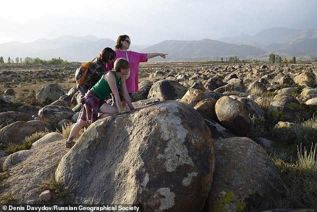
The nearby Tian Shan mountains are seismically active, and a sudden lakebed shift could have rapidly inundated the town with water, burying it beneath layers of silt. Signs of prior abandonment suggest many residents might have escaped before the disaster, though the constructed environment vanished underwater.
"This site represents a city or a significant commercial hub located on a crucial section of the Silk Road," Kolchenko stated. This association links the ruins to active trade routes rather than an isolated settlement. The relatively shallow depth also facilitates continued mapping and sampling compared to typical deep-lake archaeology.
Medieval Ceramics and Mud Brick Structures Reveal Long-Term Habitation
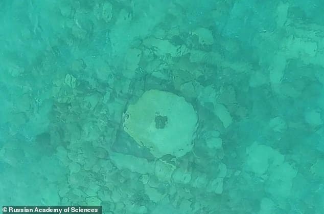
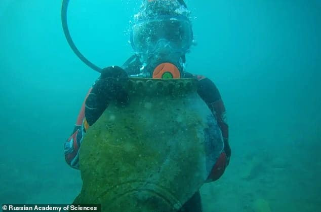
The third zone revealed ancient Muslim pottery, including a large, well-preserved khum water jar destined for recovery in an upcoming expedition. These artifacts shed light on local craftsmanship and trade networks. Mud brick constructions of varied shapes and sediment layers indicate the settlement underwent multiple rebuilding phases over time, with newer structures erected atop earlier foundations.
Due to rapidly changing nearshore water clarity, archaeological teams conducted short dives, meticulously photographing and recording each wall section. This shallow location permits an almost land-like excavation experience, enabling divers to document walls and artifacts comprehensively while collecting sediment samples for later study.
Scientific Dating and Sediment Sampling Provide a Detailed Timeline
Researchers extracted sediment cores underwater to analyze how the shoreline evolved over centuries and how the city was suddenly submerged. These layers contain valuable data linking geological changes to human activity.
Samples of wood and organic remains were sent for precise dating techniques. Dendrochronology, matching annual tree rings from recovered beams, offers exact chronological markers. Accelerator mass spectrometry analyzes carbon isotopes to date charred wood and bones. Together, these methods aim to verify if construction continued alongside use of the cemetery and whether the settlement's destruction happened during a single seismic catastrophe.

Following UNESCO guidelines for underwater cultural heritage, the project emphasizes preserving the site in place while documenting erosion exposing new findings. The region’s historic role in trade is well-recognized, with UNESCO acknowledging Kyrgyzstan’s location along Silk Road routes.
The exploratory team has currently mapped only a portion of the medieval settlement. Plans are underway for wider surveys to define its full extent. Future chemical analyses of building materials and sediments will illuminate environmental shifts and construction practices. For now, the underwater terrain near Toru-Aygyr has revealed enough evidence to confirm that this Silk Road town remained hidden beneath lake shallows for six centuries.
- Categories:
- News


0 comments
Sign in to Comment