
An intense winter system is moving through California's Sierra Nevada, posing serious challenges to holiday travelers and prompting urgent weather advisories from federal and local authorities. Some high-altitude locations could see totals surpassing 124 inches of snow, with strong wind gusts ranging between 60 to 100 mph anticipated through Friday, December 26.
The National Weather Service (NWS) has issued alerts for extensive areas across the state's central and eastern mountain ranges, which include important national parks, highways, and mountain communities. Officials urge the public to avoid unnecessary travel in these regions.
This storm affects several zones with varying snowfall expectations depending on elevation. Meteorologists forecast snow levels will gradually fall, impacting areas as low as 6,000 feet by midweek, significantly widening the affected zone.

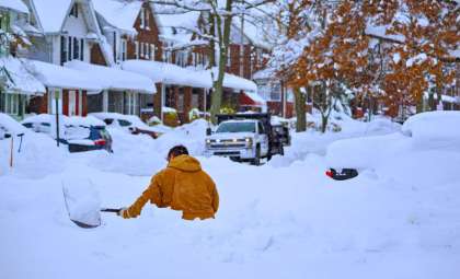
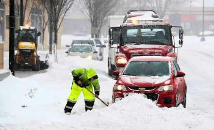
The most severe conditions are expected between Wednesday and Friday, coinciding with peak holiday travel, raising concerns about road hazards, marooned vehicles, and restricted emergency services.
Yosemite, Sequoia, and Mono County Face Most Severe Snowfalls
Some of the Sierra Nevada’s deepest snow accumulations in recent memory are forecast, particularly in Yosemite National Park, Kings Canyon, Mono County, and the White and Inyo Mountains.
Regional snowfall projections and wind speeds:
- Yosemite National Park (excluding valley floor)
- Snow accumulation: 2 to 124 inches
- Wind gusts: Up to 60 mph
- Upper San Joaquin River, Sequoia, and Kings Canyon National Parks
- Snowfall: As much as 115 inches
- Wind gusts: Maximum 50 mph
- Mono County (including Mammoth Lakes, Bridgeport, and US-395 corridor)
- Above 8,000 feet: 4 to 5 feet snow
- Below 8,000 feet: 1 to 3 feet
- Ridge wind gusts: Up to 100 mph
- Road wind gusts: Up to 60 mph
- White Mountains in Inyo County
- Elevations above 8,000 feet: Over 2 feet
- Between 7,000 and 8,000 feet: 8–16 inches
- Between 6,000 and 7,000 feet: 3–6 inches
- Wind gusts: Up to 50 mph
- Western Plumas County and Lassen National Park
- Between 4,500 and 5,500 feet: Up to 1 foot
- Above 5,500 feet: 4 to 8 feet, potentially more
- Wind gusts: Up to 60 mph
All these regions are currently covered by Winter Storm Warnings issued by NWS stations in Hanford, Sacramento, Las Vegas, and Reno.
For complete updates, visit the NWS Winter Weather Warnings portal.
Increasing Wind Speeds and Falling Snow Levels Heighten Risks at Mid-Elevations
This weather event stands out for its heavy snowfall combined with intense winds. Experts highlight that gusts along exposed ridgelines may reach hurricane-strength speeds — potentially hitting 100 mph — notably across Mono and Alpine counties.
Snow levels are forecast to descend from above 8,000 feet to near 6,000 feet by Thursday and Friday, introducing hazardous conditions in locations not usually impacted by winter storms during this season.
Potentially affected areas include:
- Highways and state routes near entrances to national parks
- Major travel corridors such as US-395, CA-168, and Tioga Pass
- Mountain communities and ski resorts at moderate elevations
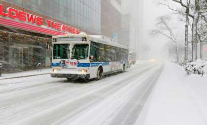
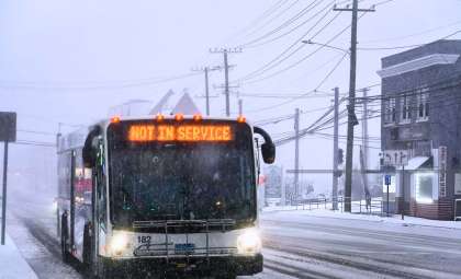
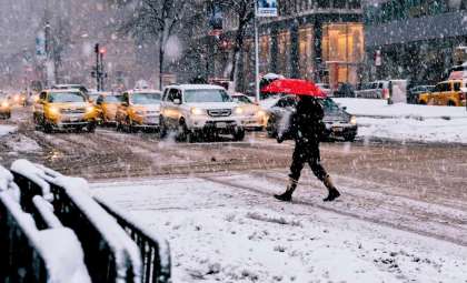
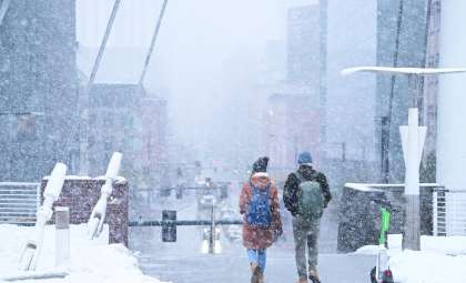
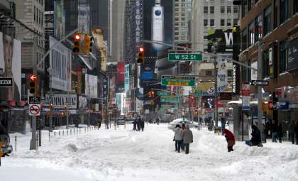
Authorities warn that travel could become extremely challenging or impossible due to whiteout conditions, icy roads, and falling trees expected throughout the storm period.
Holiday Transportation and Emergency Services Brace for Impact
The storm’s arrival during the holiday season significantly increases risks for travelers navigating California’s mountainous terrain. State and local agencies have launched plans for road closures, mandatory tire chains, and restricted access to parks and recreational areas.
Caltrans is providing live updates on conditions through its QuickMap platform and via the 511 hotline.
Travelers in or near affected zones are strongly urged to take the following precautions:
- Postpone all non-essential trips to mountain areas until after Friday night
- Bring emergency supplies including: flashlights, food, water, blankets, and battery backups
- Stay informed by monitoring messages from NWS, Caltrans, and local emergency agencies
Snowfall intensity could reach 1 to 2 inches per hour during peak times, hampering snow-clearing efforts and leading to rapid road closures.
- Categories:
- News


0 comments
Sign in to Comment