
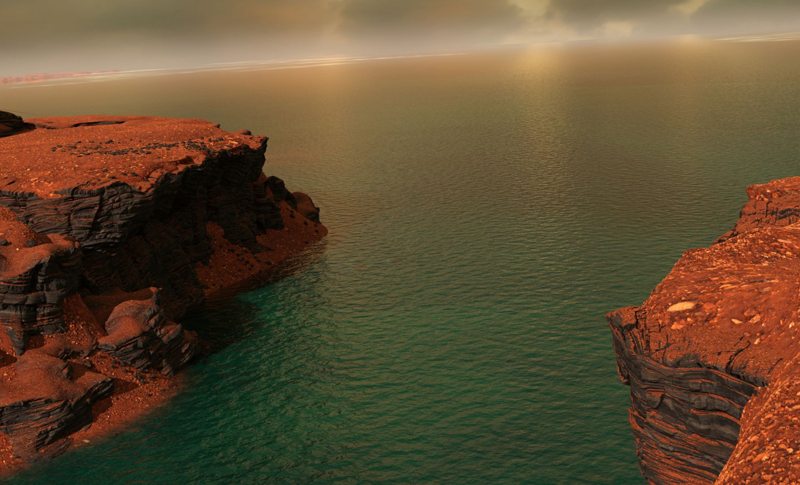
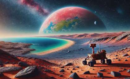
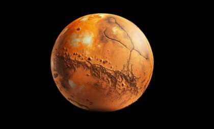
Once considered a desolate and arid planet, Mars might have once housed expansive blue waters. A recent study has identified ancient river delta formations on the Red Planet, providing the strongest proof yet of a huge ocean that spread across much of Mars' northern lands around 3 billion years ago.
The search for signs of liquid water on Mars is crucial in understanding its potential for life. While earlier research pointed to the possibility of ancient rivers and seas, concrete proof was missing. This new investigation presents what experts call unmistakable indicators of a Martian shoreline.
Delta-Like Structures in Mars' Canyon Regions
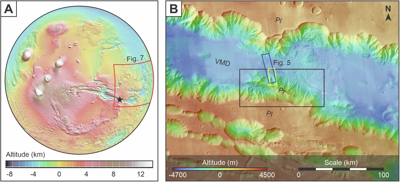
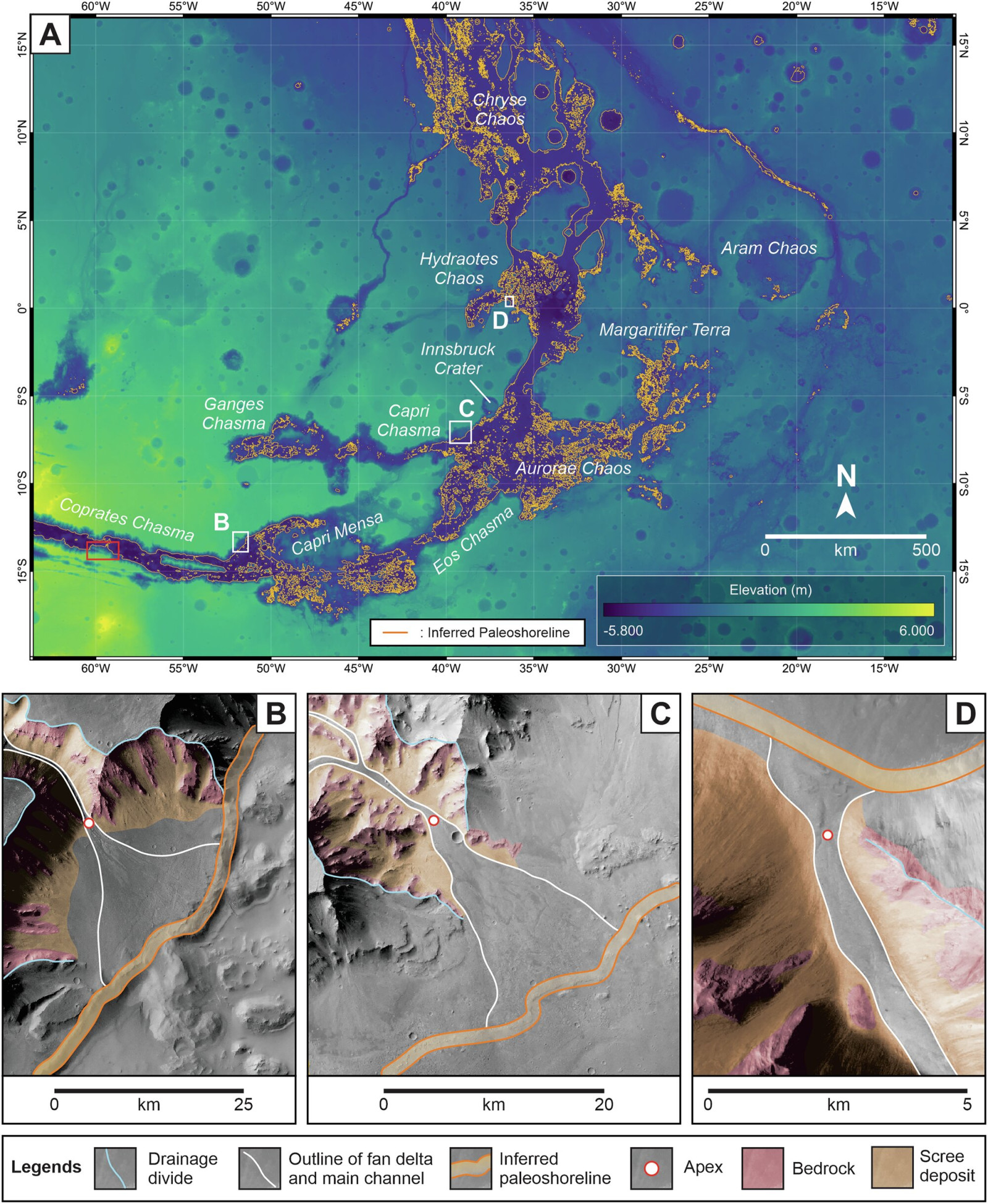
Researchers detailed in npj Space Exploration how they identified delta-like deposits in the southeastern part of Coprates Chasma, a segment of the expansive Valles Marineris canyon system. These formations, termed “scarp-fronted deposits,” closely resemble terrestrial fan deltas in both appearance and structure.

“The structures that we were able to identify in the images are clearly the mouth of a river into an ocean,” said Fritz Schlunegger, professor at the University of Bern.
The mapping was spearheaded by Ignatius Argadestya, a PhD candidate funded by the Swiss Government Excellence Scholarship, who noted the striking similarities between Martian canyons and Earth’s terrain. These insights relied on imagery from ESA’s CaSSIS camera aboard the ESA – ExoMars mission, complemented by data from Mars Express and Mars Reconnaissance Orbiter.
Detailed Imaging Reveals Martian Shoreline Remnants
Breakthroughs in planetary photography enabled this discovery. Since 2018, the CaSSIS device, created at the University of Bern, has captured high-resolution, color images of the Martian surface. Professor Nicolas Thomas, the instrument’s lead developer, emphasized the importance of this technology:
“The images are regularly used in scientific studies. I am personally very pleased that the images have now also been used in a geomorphological study by the Institute of Geological Sciences.”
Using these platforms, the researchers reconstructed what appears to be an expansive ancient shoreline, where rivers once emptied into a vast ocean. The sediment formations closely mirror those found on Earth, supporting the notion of a long-lasting, stable aquatic environment on Mars.
Mars Might Have Once Contained an Ocean the Size of Earth’s Arctic Sea
The ocean's scope outlined in this study is impressive. Scientists estimate it spanned an area roughly equivalent to the Earth's Arctic Ocean, covering much of Mars’ northern hemisphere. This research strengthens previous hypotheses by providing more accurate imaging and topographic data. Unlike earlier speculative models, these findings rest on tangible geomorphological evidence.
“Earlier claims were based on less precise data,” said Schlunegger. “Our reconstruction of the sea level is based on clear evidence for such a coastline.”
Despite the reshaping of Mars’ surface by wind erosion over millennia, the fundamental shape of these delta formations remains detectable beneath modern sand deposits.
The researchers plan to next investigate the mineral makeup of these ancient sites. As Argadestya pointed out, this work represents a new avenue for Martian geological studies, allowing scientists to use methods developed on Earth to delve deeper into Mars’ environmental past.
- Categories:
- Space


0 comments
Sign in to Comment