
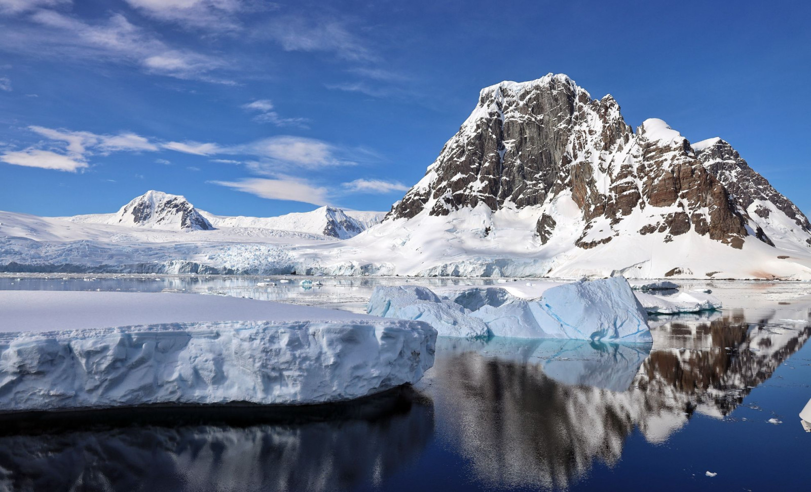
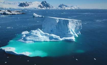
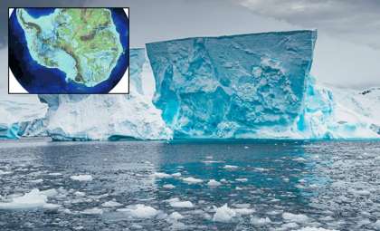
Researchers have unveiled the most comprehensive map to date of the terrain lying beneath Antarctica’s icy surface, exposing a concealed world of mountain ranges, profound valleys, and ancient riverbeds. This remarkable visualization was achieved by integrating satellite observations with advanced ice-flow simulations, highlighting how the subterranean landscape shapes ice dynamics above.
Featured in the journal Science, this study addresses critical knowledge gaps regarding the continent’s bedrock. Prior efforts were hampered by Antarctica’s extreme and inaccessible environment, limiting the precision of earlier surveys. Thanks to this enriched dataset, scientists can now inspect the continent’s geological base with unprecedented clarity.
Revealing Buried Rivers and Deep Valleys
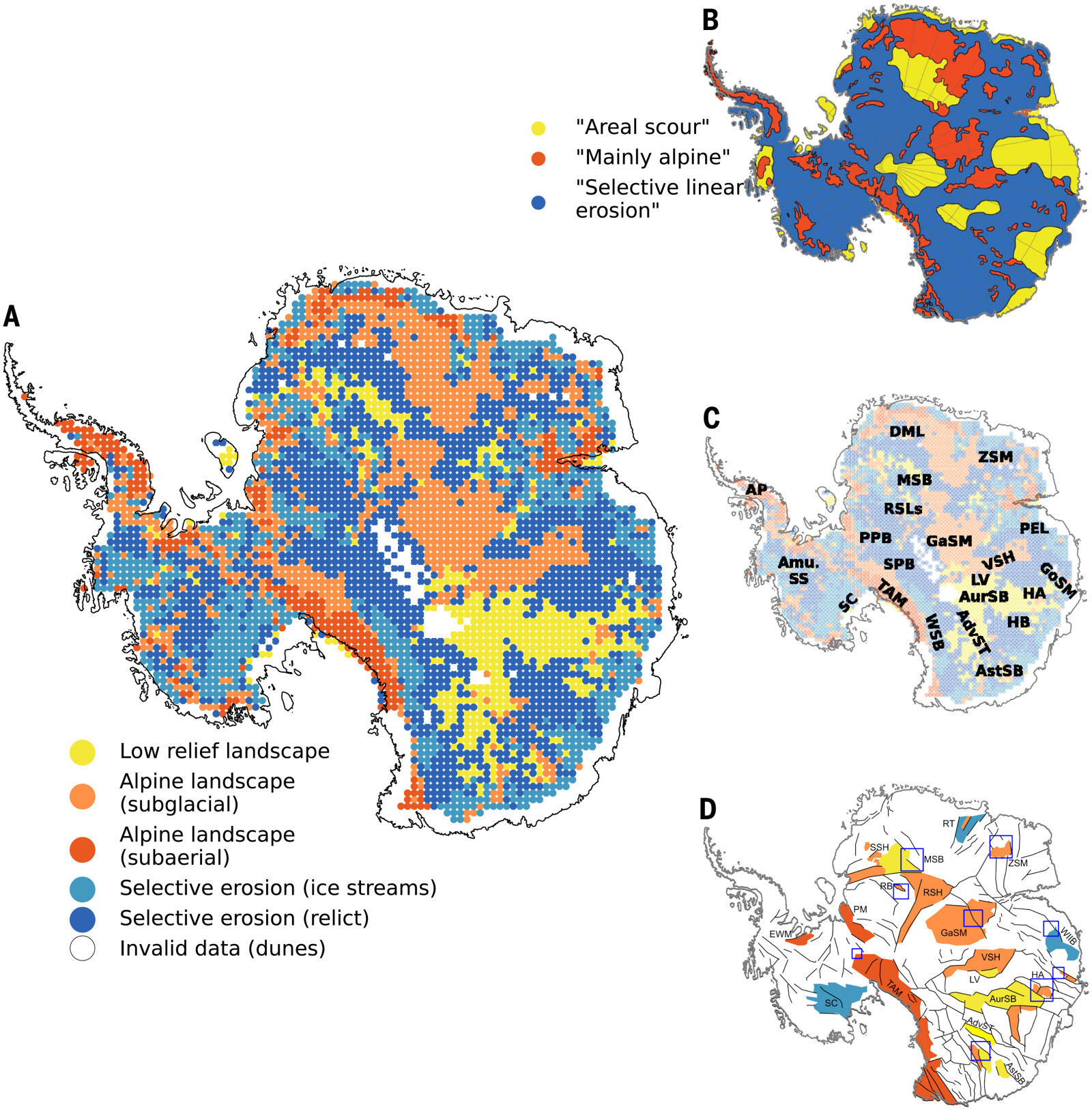
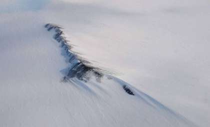
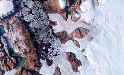
The latest findings demonstrate hidden structures lying between approximately 1.2 and 18.6 miles below the ice, some of which were never identified or were misunderstood before. Among these features are extensive subglacial river channels, stretching for hundreds of miles and hinting at landscapes that existed well before the glacier formed. These ancient waterways reveal that parts of Antarctica once had active river systems that sculpted the terrain long prior to glaciation.

In one area, earlier airborne surveys suggested a smooth, ancient river basin; however, the new data uncovered steep and sharply incised valleys, revealing a far more rugged terrain than previously thought. This updated perspective may shed light on regional differences in ice flow and melting patterns.
Subsurface Tectonic Discoveries
The map also uncovers distinct elevation shifts indicative of buried tectonic boundaries. These abrupt changes between low-lying basins and elevated mountain blocks highlight historic fault lines or crustal divisions hidden beneath the thick ice sheet.
Understanding these tectonic features can clarify why some glaciers exhibit unique flow rates across Antarctica. Ice moves faster over pronounced, smooth basins and slows down when encountering elevated or rough terrain. Mapping these features allows researchers to isolate natural bottlenecks or resistance points in ice movement, a feat not possible with prior mapping methods.
Integrating Data to Unlock Antarctica’s Secrets
The breakthrough was made by combining diverse datasets: satellite-based elevation readings, ice thickness measurements, and sophisticated ice dynamics models. This fusion produced a more consistent and nuanced topographic view, even for regions where data were patchy or previously unreliable.
This technique enabled correction of earlier inaccuracies and unveiled hidden subglacial landscapes. The resulting map refines and redefines our perception of Antarctica’s terrain. For scientists focused on glacial behavior, ice sheet progression, sea-level impacts, and climate processes, this new resource provides an invaluable base for continued investigation.
- Categories:
- News


0 comments
Sign in to Comment