
In a pioneering collaboration, NASA and the U.S. Geological Survey (USGS) have launched a new project aimed at mapping crucial mineral resources throughout the western United States. Utilizing advanced airborne sensors originally developed for space exploration, researchers are surveying North America’s terrains to locate essential materials that are key to modern technology and national security. This initiative, called the Geological Earth Mapping Experiment (GEMx), employs state-of-the-art instrumentation to observe Earth’s surface in unprecedented ways—offering fresh insights into the locations of vital minerals like lithium and rare earth elements.
By adapting space-grade technology, NASA’s Jet Propulsion Laboratory (JPL) alongside USGS provides innovative techniques to identify mineral deposits within the United States. This work is increasingly important as the nation aims to lessen its dependence on imported minerals—elements integral to products ranging from smartphones and medical equipment to batteries powering electric vehicles. With a history of cooperation extending back to the Apollo era, NASA and USGS continue to push boundaries by combining their expertise to tackle challenges critical to the country’s future.
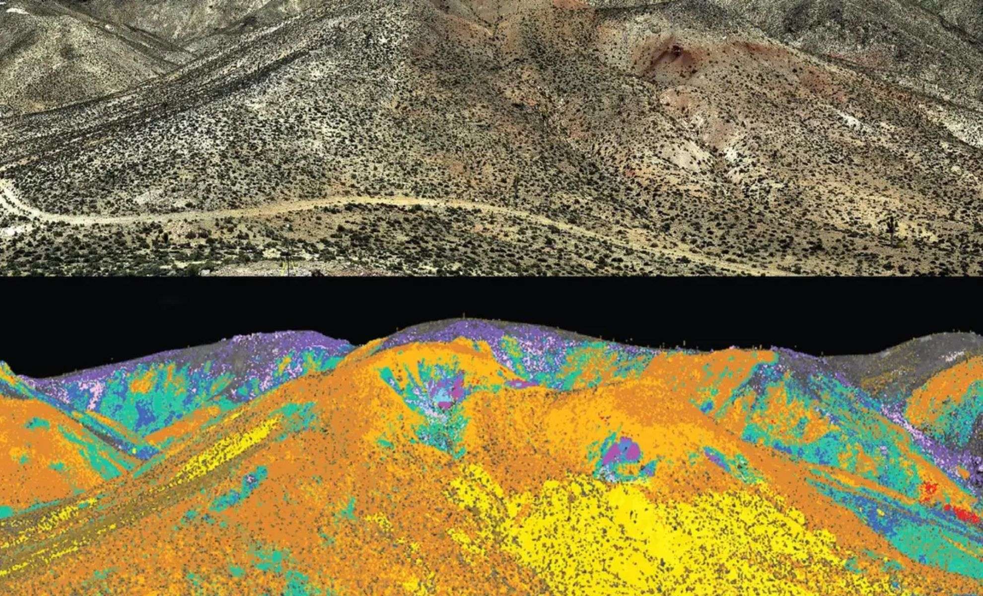
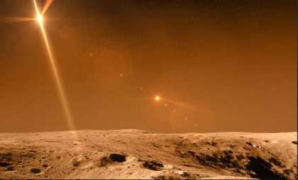
Exploring Nevada’s Cuprite: Earth’s Mars Twin for Sensor Testing
Located in the arid expanse of Cuprite, Nevada, NASA has identified a unique environment that closely resembles planetary surfaces such as Mars. This barren region has served as a test site for NASA’s high-tech sensors for over a century. “Among the sensors calibrated at Cuprite are those that revealed water on the Moon, mapped Saturn’s moons, and analyzed the aftermath of the 9/11 sites,” explained Robert Green, a senior scientist at NASA’s JPL. The mineral-abundant hills of Cuprite mirror the Martian landscape, making it a perfect natural laboratory to perfect instruments destined for future space missions.

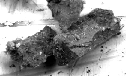
For more than 30 years, NASA has advanced technology capable of detecting minerals on rocky terrains—initially for extraterrestrial missions, now applied to terrestrial exploration. Minerals like gypsum, mica, and alunite, while visually nondescript, are rendered distinctly through NASA’s sophisticated sensors, exposing intricate geological details useful for innovation. As a natural testbed, Cuprite enables researchers to validate sensor performance critical for upcoming planetary explorations.
High-Altitude Sensors: Scanning Earth from 60,000 Feet
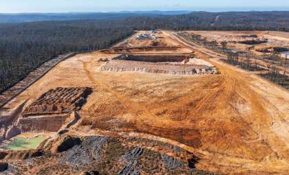
The minerals targeted, including lithium, cobalt, and rare earths, support vital industries such as electric vehicle manufacturing and healthcare. To pinpoint these deposits, NASA operates sensors aboard aircraft flying at 60,000 feet (18,200 meters), significantly above typical commercial flights. These airborne spectrometers capture detailed mineralogical data by detecting light spectra imperceptible to the human eye. This capability is essential for surveying extensive and remote regions across North America.
NASA’s expertise in imaging spectroscopy is central to this mission. The AVIRIS-Classic sensor detects specific wavelengths reflected by mineral molecules, enabling precise identification from afar. “It’s fascinating that NASA not only explores distant solar systems but also turns its technology inward to study our own planet,” shared Ben Phillips, NASA program manager until 2025. This approach enhances scientists' ability to locate mineral deposits with unprecedented clarity and reach.
AVIRIS-Classic and AVIRIS-5: Next-Gen Tools for Mineral Identification
The core of GEMx harnesses imaging spectroscopy technology developed by NASA’s Jet Propulsion Laboratory since the 1980s. This technique identifies minerals based on their unique light reflection patterns—essentially their spectral fingerprints. The Airborne Visible/Infrared Imaging Spectrometer (AVIRIS) has been the principal instrument for decades, with the original AVIRIS-Classic now complemented by the sophisticated AVIRIS-5.
AVIRIS-5 offers a dramatic improvement, resolving features as small as one foot wide, delivering imagery with tenfold increased resolution compared to its predecessor. This enhancement yields greater precision in mapping mineral resources, supporting U.S. industry demands. Mounted on NASA’s ER-2 high-altitude aircraft, both AVIRIS models gather extensive data across the western U.S., enabling new discoveries of valuable mineral deposits. “The latest AVIRIS sensor truly exceeds expectations,” noted Green, emphasizing the technology’s enhanced precision and impact.
GEMx: A Legacy Linked to Space Exploration
The NASA-USGS partnership draws from a rich tradition dating back to the Apollo missions, when USGS helped produce lunar maps essential for astronaut safety. This groundwork was vital for training crews involved in NASA’s Artemis program, which targets human return to the Moon.
Today, this alliance continues to address terrestrial resource challenges. By combining USGS’s field expertise with NASA’s cutting-edge airborne sensors, GEMx can access mineral data from locations unreachable by conventional methods. USGS geophysicist Todd Hoefen leads teams collecting mineral samples on the ground, which are then used to verify the airborne data, ensuring high accuracy in mineral detection.
- Categories:
- News


0 comments
Sign in to Comment