
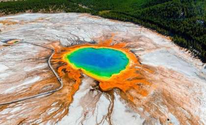
A comprehensive geophysical investigation led by the U.S. Geological Survey (USGS) and published in Nature has advanced our knowledge of the Yellowstone supervolcano by shedding light on its intricate magma systems beneath the surface. Alongside, climatologists like Markus Stoffel from the University of Geneva have heightened awareness of the systemic global threats posed by super-eruptions, not only at Yellowstone but at other potent volcanic regions worldwide.
Reevaluating Magma Dynamics and Eruption Potential
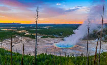
Utilizing electromagnetic imaging, the 2025 study measured the electrical conductivity of subterranean rock beneath Yellowstone’s caldera. Because molten material conducts electricity far better than solid rock, this technique mapped the spatial arrangement of partially molten magma pockets in three dimensions with unprecedented accuracy.
The research demonstrates that Yellowstone’s magma body is composed of isolated melt pockets interspersed within mostly solid crustal rock. These pockets vary from 2% to 30% melt fraction and are predominantly concentrated in the northeastern sector of the caldera, where an immense volume of 400–500 km³ of rhyolitic magma is stored—surpassing the size of the ancient Mesa Falls eruption.

Heat driving this molten activity originates from ongoing basaltic injections from Earth’s mantle, which sustain and gradually expand these melts. Currently, no continuous reservoir exists, but increasing thermal inputs could lead to connections forming between these pockets, raising the chance of a significant volcanic event.
Signs of Imminent Activity and Risk Forecasts
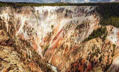
Yellowstone has erupted violently three times in the last 2.1 million years, including the Huckleberry Ridge, Mesa Falls, and Lava Creek eruptions. Although the ~735,000-year intervals between these events have been cited as a pattern, the eruption timing lacks predictability, making statistical conclusions uncertain.
Climatologist Markus Stoffel and colleagues estimate a roughly 16% chance of a VEI 7 or greater eruption occurring anywhere in the world before 2100. These projections are based on modeling volcanic behavior, historical eruption frequency, and observed increases in subsurface magma activity across multiple volcanoes.
Besides Yellowstone, active volcanic regions such as Campi Flegrei in Italy and Toba in Indonesia are also showing signs of heightened geological unrest, warranting close observation.
Projected Sequence of a Yellowstone Mega-Eruption
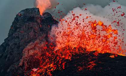
Super-eruption scenarios at Yellowstone suggest a multi-stage sequence. Evidence from past eruptions like the 630,000-year-old Lava Creek event shows that smaller, earlier eruptions could precede the main blast by years or decades, initially confined but explosive due to shallow magma pockets.
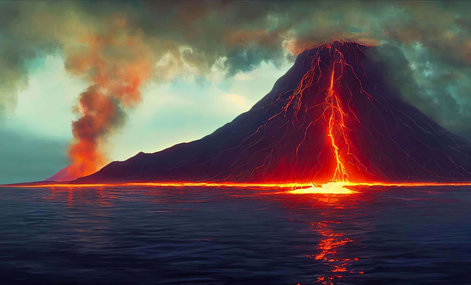
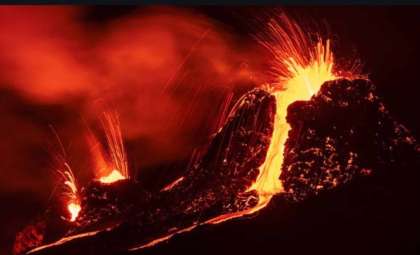
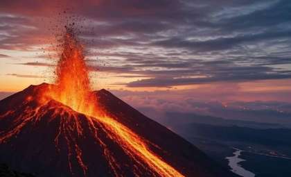
Once interconnections between magma reservoirs develop, an eruption would escalate swiftly. The highly viscous, gas-rich rhyolitic magma would drive tall, plinian eruption columns shooting into the stratosphere within minutes. Periodic collapses of these columns would produce pyroclastic density currents (PDCs) traveling faster than 300 km/h and devastating areas up to 100 km from the caldera.
According to geophysical models by Larry Mastin (USGS), ash fallout would be extensive. Cities like Chicago, San Francisco, and Winnipeg could experience ash layers nearly 3 cm thick, while trace deposits would reach the U.S. East Coast. Closer to the eruption, ash accumulations would measure several meters, resulting in infrastructure failure and complete destruction of agriculture.
Climate Impact and Atmospheric Consequences
The most profound global impact from such a volcanic catastrophe would be the injection of volcanic aerosols into the stratosphere, producing climatic shifts through radiative forcing. Huge releases of sulfur dioxide (SO₂) would transform into sulfate aerosols, reflecting sunlight and triggering rapid planetary cooling.
Historical precedents include:
- Mount Pinatubo (1991): induced a 0.5°C global temperature decline lasting about two years.
- Tambora (1815): caused the “Year Without a Summer”, widespread crop failures, and social unrest.
Predictive models estimate that a Yellowstone-scale eruption could cause a 4°C global surface temperature drop, with cooling exceeding 10°C in parts of North America. These effects might endure for 15–20 years, disrupting monsoon patterns, polar ice extent, and global water cycles.
Such climatic disturbances would likely devastate agricultural productivity worldwide. Additionally, ash decorates the environment with toxic heavy metals such as arsenic, cadmium, and mercury, posing ongoing threats to ecosystems and human health through contamination of soil and water.
Monitoring and Preparedness
Despite increasing knowledge, volcanic risk surveillance remains insufficient relative to the potential dangers.
Key monitoring technologies include:
- Seismic networks for detecting earthquake swarms
- InSAR satellites tracking land deformation
- Gas sensors measuring volatile emissions
- Gravimetric tools monitoring magma movements
Nonetheless, precise eruption forecasting remains elusive. Data from events like Toba highlight how major eruptions can unfold with very limited warning, underscoring the importance of proactive planning alongside real-time observation.
Balancing Low Likelihood with Severe Impact
The recent USGS findings refine Yellowstone’s internal structure model, tempering sensational speculation but emphasizing long-term volcanic hazards. While a super-eruption is not imminent, its global fallout would destabilize ecosystems, infrastructure, climate, and food systems.
Addressing these risks demands international cooperation, continuous scientific openness, and investments in robust infrastructure and adaptable agriculture. Given the unpredictable nature of Earth’s geological processes and the interconnectedness of modern society, ignoring these challenges risks catastrophic consequences.
- Categories:
- News


0 comments
Sign in to Comment