
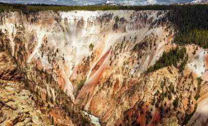
Hidden beneath Alaska’s stunning natural vistas lies an exceptionally active volcanic region. The volcanic arc formed by the Alaska Peninsula and the Aleutian Islands represents the segment of North America encompassed within the renowned “Ring of Fire.” While volcanic phenomena in places like Hawaii, the Cascades, or Yellowstone capture more public attention, Alaska’s volcanic landscape is remarkably vigorous yet less recognized. As noted by Animals Around The Globe, Alaska contains over 130 volcanic sites, with more than 50 active within recorded history. This area encompasses roughly 8% of the world’s active volcanoes and nearly 80% of all volcanic eruptions recorded in the United States, underscoring the region’s tremendous geological vitality.
Expanse of Alaska’s Volcanic Province
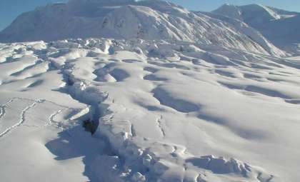
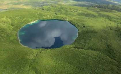
Spanning approximately 1,550 miles from the Alaska Peninsula through the Aleutian Islands, this vast volcanic belt marks the northern section of the Ring of Fire, a massive 25,000-mile-long arc that holds nearly 75% of Earth’s active volcanoes. The Aleutian arc, consisting of 46 active volcanoes, ranks among the densest volcanic clusters on the planet, with additional volcanic centers nestled within the Wrangell Mountains and interior parts of Alaska. The formation of the Aleutian Islands results from the Pacific Plate subducting beneath the North American Plate—a tectonic process that continuously supplies magma. This region hosts a variety of volcanic formations, including towering stratovolcanoes, expansive shield volcanoes, and complex lava domes. Due to their remote and often uninhabited locations, many of these volcanoes remain less known compared to other famous volcanic zones.
Understanding the Forces Driving Alaska’s Volcanism
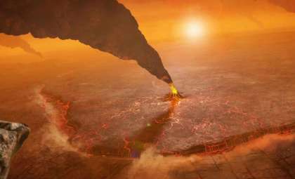
Volcanic activity in Alaska is powered chiefly by subduction, wherein the Pacific Plate dives beneath the North American Plate. As this oceanic crust sinks deeper into the mantle, rising pressure and temperature cause the release of volatile compounds like water, which lowers the mantle’s melting temperature. Consequently, magma forms and ascends through the overriding plate, resulting in volcanic eruptions.

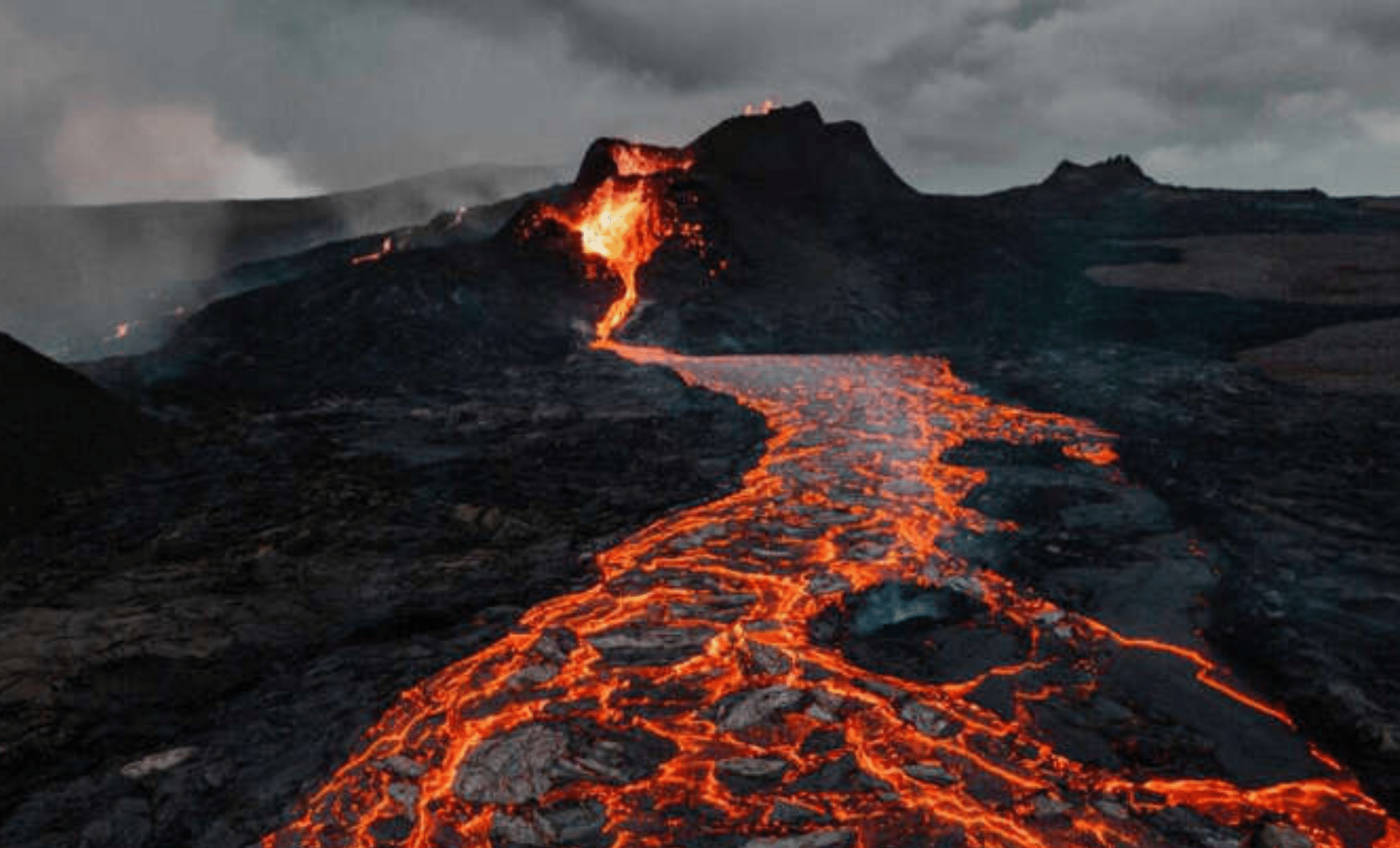
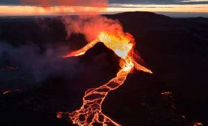
The characteristics of eruptions depend heavily on the angle and speed of the plate's descent. In the eastern Aleutians, where subduction occurs at a steeper angle, magma is typically more viscous and silica-rich, producing highly explosive eruptions. Conversely, the western Aleutians experience a gentler subduction angle, resulting in more fluid basaltic lava flows. This range in magma chemistry explains why Alaska experiences both violent explosive events, such as eruptions from Redoubt and Novarupta, and gentler, effusive lava flows. The complex tectonic environment and varied magma compositions make Alaska’s volcanic belt one of the most diverse and potent on Earth.
Frequency of Volcanic Eruptions: A Revealing Statistic
Many underestimate the regularity of volcanic eruptions across Alaska. On average, the state witnesses one to two notable eruptions annually, marking it as the most volcanically active region in all of North America. Since the 18th century, over 350 eruptions have been formally recorded, with more than 50 occurring in the past 20 years alone. The Alaska Volcano Observatory (AVO) reports that from 2002 to 2022, upwards of 50 eruptions were documented, highlighting the persistent volcanic vigor of this region. Volcanoes like Pavlof, Cleveland, and Shishaldin erupt on a cycle of several years, while others have longer dormant spells. This eruptive frequency far exceeds that of other U.S. volcanic zones, where significant activity is far less common. Despite this, media coverage is sparse, leaving many unaware of Alaska’s extraordinary volcanic dynamism.
Alaska Volcano Observatory: Guardian of the Volcanic Frontier
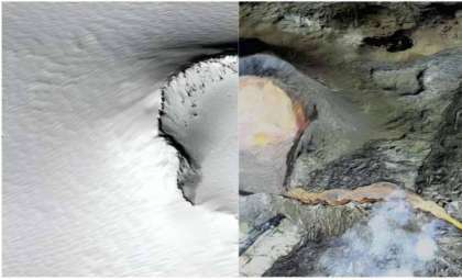
Established in 1988, the Alaska Volcano Observatory (AVO) plays an essential role in keeping track of volcanic activity statewide. A collaborative effort involving the U.S. Geological Survey, University of Alaska Fairbanks, and the Alaska Division of Geological & Geophysical Surveys, the AVO utilizes an array of monitoring technologies such as seismic networks, webcams, infrasound detectors, and GPS stations. These instruments detect early warning signs of eruptions, bolstering hazard mitigation efforts.
Though many Alaskan volcanoes are situated in remote locales, the AVO has innovated monitoring methods, employing machine learning techniques to examine satellite images for thermal anomalies and ash clouds. With only about one-third of the potentially active volcanoes under direct observation, satellites play a vital role in tracking activity across inaccessible regions. Additionally, the AVO’s aviation color code system serves to alert aircraft to volcanic dangers, prioritizing flight safety throughout the area.
- Categories:
- News


0 comments
Sign in to Comment