
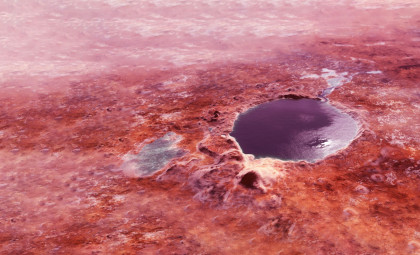
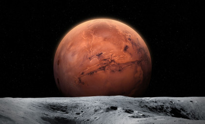
Above the floor of Gale Crater, intricate rhythmic patterns carved into a dark rock layer are challenging long-held views about Mars' drying history. For more than ten years, NASA’s Mars Science Laboratory has ascended the slopes of Mount Sharp, tracing the planet’s shift from a water-rich environment to a cold, dry landscape. The mountain’s sulfate-containing strata were previously thought to mark the period when Mars lost its surface water.
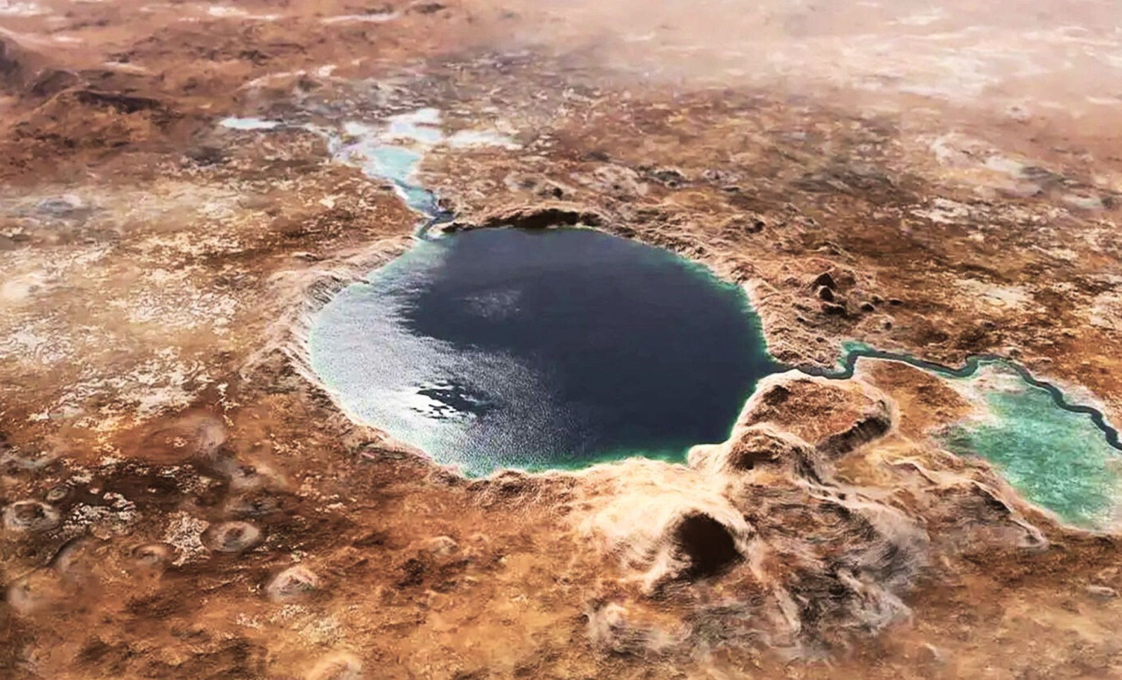
Yet, data beamed back from the Curiosity rover on November 1, 2025, reveals that liquid water intermittently persisted during that arid phase. The rover’s high-resolution images uncovered symmetrical wave ripples, patterns created by water waves moving across a shallow ancient lake billions of years ago. These marks constitute the clearest surface water evidence confirmed by the mission since its 2012 start.
This finding indicates the Martian environment did not simply dry out in a continuous process. Instead, climate conditions appear to have fluctuated, supporting stable lakes even as the atmosphere became thinner and the soil saltier. Encased in a resistant rock layer, these wave ripples preserve a detailed record of a once-hydrologically active landscape that outlasted previous estimates.

Crucial Geological Observations at Gale Crater
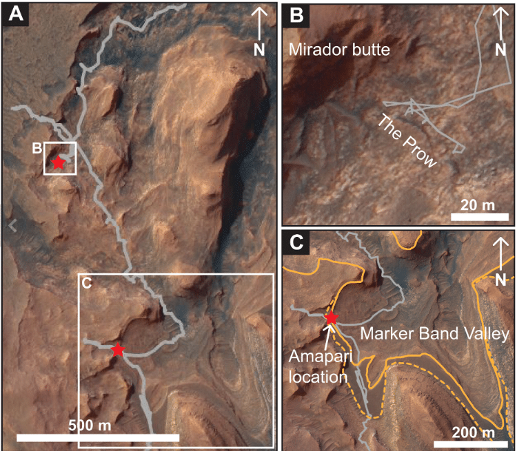
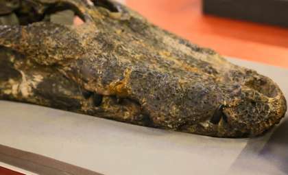
According to the NASA mission updates from late 2025, the Curiosity rover discovered these “ripple marks” around 3,700 meters elevation within the Marker Band. This particular layer of sulfate-rich rock was so tough that Curiosity’s drill could not penetrate it during attempts in late October 2025. The exceptional hardness of the rock is what enabled the preservation of these delicate wave-generated textures for billions of years despite harsh wind erosion.
Documentation from the California Institute of Technology (Caltech), home to the Jet Propulsion Laboratory (JPL), reveals that these ripples are symmetrical. In the study of sediments, symmetrical ripples arise from the back-and-forth movement of waves, in contrast to the asymmetrical ripples formed by unidirectional river currents. This confirms that the Marker Band was once submerged beneath a standing body of water large enough to generate wave action driven by wind.
Curiosity’s project scientist Ashwin Vasavada shared in a mission briefing: “This is the best evidence of water and waves that we’ve seen in the entire mission.” He emphasized that after traversing extensive lacustrine deposits, the team had not encountered such unmistakable signs, especially in this expectedly dry region.
Climate Variability Preserved in Rock Layers
The results, published in Science Advances, imply the Martian climate exhibited dynamic and recurring hydrologic cycles. In addition to the wave ripples, Curiosity detected consistent, rhythmic bedding in rock layers. Such patterns commonly arise from cyclical climatic events, like seasonal shifts or long-period atmospheric variations akin to Earth’s Milankovitch cycles.
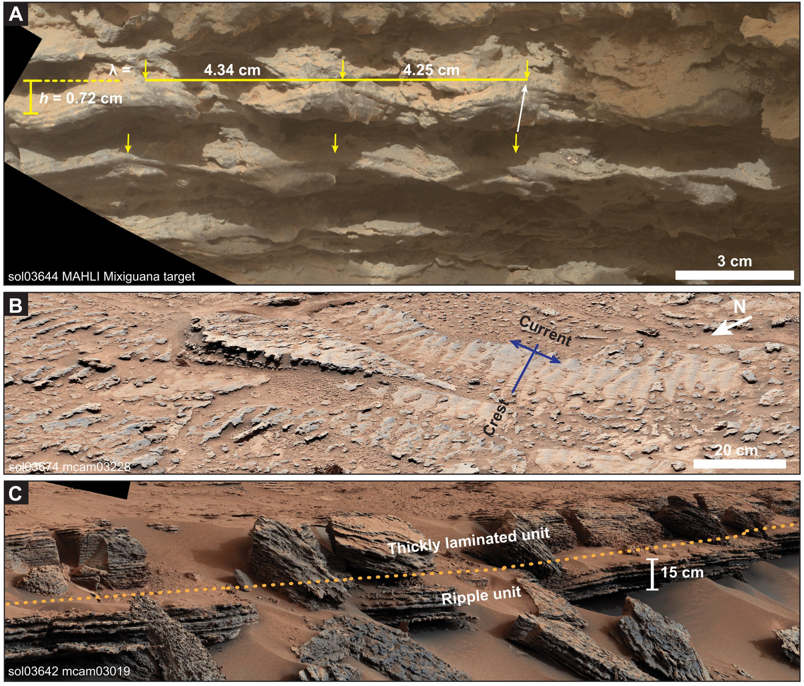
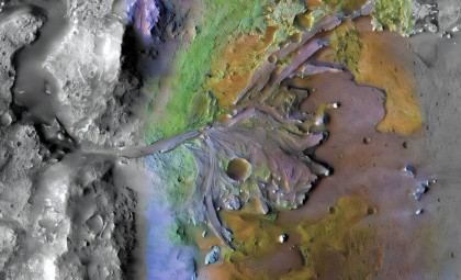
The NASA Science Mission Directorate highlights that these alternating mudstone and sulfate strata demonstrate environments fluctuating between deep lakes, shallow saline ponds, and dry, dusty terrains. Higher on Mount Sharp, the rover observed indications of energetic water flows at the Gediz Vallis ridge.
Here, clusters of boulders and debris seem to have been transported downslope via wet landslides. Since these landslide deposits postdate the wave ripple formation, it confirms episodic liquid water activity persisted long after the major lake systems had diminished.
Analytical Challenges and Mineral Insights
The extreme hardness of the Marker Band’s rock has prompted the team to modify analysis methods for 2026. The current drill bits are ineffective, so scientific instruments like the Alpha Particle X-ray Spectrometer (APXS) and the Chemistry and Camera (ChemCam) laser are used to examine rock surfaces remotely.
Measurements reveal the ripples contain elevated levels of magnesium and calcium, minerals typically deposited as water evaporates. This suggests the ancient lake became increasingly saline before drying out. Additionally, the rover identified “boxwork” structures—fractures filled with mineral veins—indicating that groundwater circulation continued within the crust after surface waters disappeared.
With the onset of the Martian winter in late 2025, the rover’s radioisotope power decline has reduced available daily energy. This limitation forces the team to carefully manage data-gathering priorities in the Marker Band while protecting the rover's operational health.
Planning Next Exploration Steps
NASA’s Jet Propulsion Laboratory is preparing navigation commands to steer Curiosity around the steepest parts of the Gediz Vallis ridge by April 2026. This route will allow close examination of landslide deposits to better estimate the volume of water involved in the debris flows.
In May 2026, NASA will conduct a senior review to assess mission progress, funding, and goals as Curiosity approaches the “White Hills,” a region with orbital data indicating a transition to differing sulfate mineralogy.
The next full dataset release via the Planetary Data System is slated for March 15, 2026, featuring 360-degree Mastcam panoramic imagery of the Marker Band. The rover is scheduled to begin its climb to the sulfate-to-clay transition zone by June 2026.
- Categories:
- Science


0 comments
Sign in to Comment